Fairground | |
|---|---|
.jpg.webp) Houses in Fairground, February 2012 | |
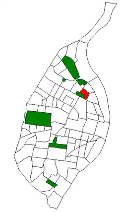 Location (red) of Fairground within St. Louis | |
| Country | United States |
| State | Missouri |
| City | St. Louis |
| Wards | 3 |
| Government | |
| • Aldermen | Freeman Bosley Sr. |
| Area | |
| • Total | 0.32 sq mi (0.8 km2) |
| Population (2020)[1] | |
| • Total | 1,157 |
| • Density | 3,600/sq mi (1,400/km2) |
| ZIP code(s) | Part of 63107 |
| Area code(s) | 314 |
| Website | stlouis-mo.gov |
Fairground is a neighborhood of St. Louis, Missouri. The neighborhood's boundaries are defined as Glasgow Avenue on the east, west and North Florissant Avenues on the north, Warne on the west, and Fairground Park and Natural Bridge Avenue on the south.
Demographics
| Census | Pop. | Note | %± |
|---|---|---|---|
| 1990 | 3,026 | — | |
| 2000 | 2,472 | −18.3% | |
| 2010 | 1,793 | −27.5% | |
| 2020 | 1,157 | −35.5% | |
| Sources:[2][3] | |||
In 2020 Fairground's racial makeup was 93.7% Black, 2.8% White, 0.4% Native American, 2.2% Two or More Races, and 1.0% Some Other Race. 0.9% of the population was of Hispanic or Latino origin.[4]
Police
St. Louis Police Department District 6
North Patrol Division
4014 Union
St. Louis, MO 63115
See also
References
- ↑ "2020 Census Neighborhood Results".
- ↑ "Fairground Neighborhood Statistics". St Louis, MO. Retrieved 26 January 2023.
- ↑ "Neighborhood Census Data". City of St. Louis. Retrieved 26 January 2023.
- ↑ "City of St. Louis" (PDF). Retrieved 2021-09-26.
External links
Neighborhood Data Profile for Fairground Neighborhood
38°40′03″N 90°12′53″W / 38.6675°N 90.2148°W
This article is issued from Wikipedia. The text is licensed under Creative Commons - Attribution - Sharealike. Additional terms may apply for the media files.