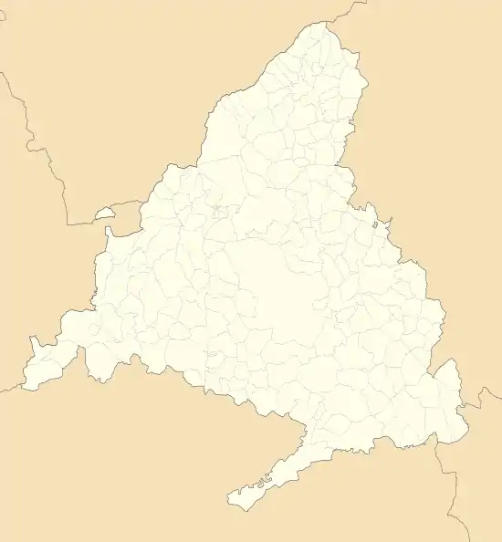
Torrelaguna | |
|---|---|
.jpg.webp) | |
 Flag Seal | |
 Torrelaguna  Torrelaguna | |
| Coordinates: 40°49′34″N 3°32′20″W / 40.82611°N 3.53889°W | |
| Country | Spain |
| Region | Community of Madrid |
| Government | |
| • Mayor | Miguel Santos Pérez |
| Area | |
| • Total | 43.4 km2 (16.8 sq mi) |
| Elevation | 744 m (2,441 ft) |
| Population (2018)[1] | |
| • Total | 4,724 |
| • Density | 110/km2 (280/sq mi) |
| Time zone | UTC+1 (CET) |
| • Summer (DST) | UTC+2 (CEST) |
| Postal code | 28180 |
Torrelaguna (Spanish pronunciation: [torelaˈɣuna]) is a municipality in the Community of Madrid, Spain. It covers an area of 43.40 km2.[2] As of 2022, it has a population of 4,940.[3]
History
Public transport
Torrelaguna has three line buses. They are:
Line 197: Torrelaguna - Madrid (Plaza de Castilla)
Line 197D: Torrelaguna - El Vellón - El Molar
Line 913: Torrelaguna - El Atazar
Main sights

The church of Magdalene.
The parish church of La Magdalena (started in the 14th century, inaugurated in the 18th century) is one of the best examples of Gothic architecture in the community of Madrid.
Other sights include:
- Abbey of the Concepcionistas Descalzas. The chapel has a Plateresque façade from the 16th century, attributed to Juan Gil de Hontañón.
- Hermitage of Nuestra Señora de la Soledad (14th century).
- Ancient market place
- Palacio de Salinas, a Renaissance building.
- Town Hall (1515)
- Remains of the city walls.
Notable people
- Saint Isidore the Farmer, a pious agricultural laborer of the twelfth century prayed to for rain. He and his wife Maria were canonized in 1622.
- Francisco Jiménez de Cisneros (1436–1517), cardinal and statesman
References
- ↑ Municipal Register of Spain 2018. National Statistics Institute.
- ↑ "Municipios". Datos del Registro de Entidades Locales. Ministerio de Hacienda y Administraciones Públicas.
- ↑ "Madrid: Población por municipios y sexo. (2881)". INE (in Spanish). Retrieved 2023-10-11.
This article is issued from Wikipedia. The text is licensed under Creative Commons - Attribution - Sharealike. Additional terms may apply for the media files.