Guadalix de la Sierra | |
|---|---|
.svg.png.webp) Flag  Seal | |
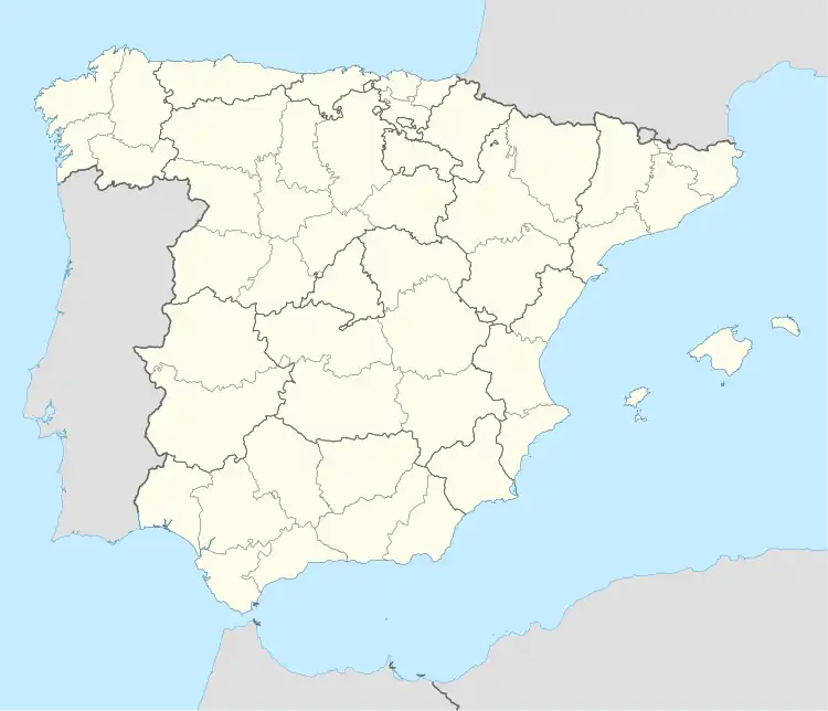 Guadalix de la Sierra Location in Spain | |
| Coordinates: 40°47′N 3°41′W / 40.783°N 3.683°W | |
| Country | |
| Autonomous community | Community of Madrid |
| Comarca | Cuenca Alta del Manzanares |
| Area | |
| • Total | 24 sq mi (61 km2) |
| Elevation | 2,730 ft (832 m) |
| Population (2018)[1] | |
| • Total | 6,119 |
| Time zone | UTC+1 (CET) |
| • Summer (DST) | UTC+2 (CEST) |
| Postal code | 28794 |
Guadalix de la Sierra is a municipality of the Community of Madrid, Spain.
According to the 2014 census,[2] the municipality has a population of 6,057 inhabitants.
Landscape
 View of Guadalix de la Sierra |
Public transport
Bus
- 197C: Torrelaguna/Venturada - Cabanillas
- 726: Navalafuente - Guadalix - Madrid (Plaza de Castilla)
References
- ↑ Municipal Register of Spain 2018. National Statistics Institute.
- ↑ Instituto Nacional de Estadística (INE)
External links
 Media related to Guadalix de la Sierra at Wikimedia Commons
auto
This article is issued from Wikipedia. The text is licensed under Creative Commons - Attribution - Sharealike. Additional terms may apply for the media files.