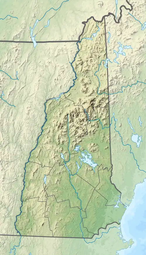
| South Branch Little Dead Diamond River | |
|---|---|
  | |
| Location | |
| Country | United States |
| State | New Hampshire |
| County | Coos |
| Townships | Dix's Grant, Clarksville, Atkinson & Gilmanton Grant, Second College Grant |
| Physical characteristics | |
| Source | Crystal Mountain |
| • location | Dix's Grant |
| • coordinates | 44°57′4″N 71°12′26″W / 44.95111°N 71.20722°W |
| • elevation | 2,760 ft (840 m) |
| Mouth | Little Dead Diamond River |
• location | Second College Grant |
• coordinates | 44°57′57″N 71°8′31″W / 44.96583°N 71.14194°W |
• elevation | 1,560 ft (480 m) |
| Length | 4.3 mi (6.9 km) |
| Basin features | |
| Tributaries | |
| • right | Lost Valley Brook |
The South Branch of the Little Dead Diamond River is a 4.3-mile-long (6.9 km)[1] river in northern New Hampshire in the United States. It is a tributary of the Little Dead Diamond River, located in the Androscoggin River watershed of Maine and New Hampshire.
The river rises in the township of Dix's Grant on the eastern slopes of Crystal Mountain, a 7-mile-long (11 km) ridge. The river flows northeast into the Atkinson and Gilmanton Academy Grant, then joins the Little Dead Diamond in the Dartmouth College Grant.
See also
References
This article is issued from Wikipedia. The text is licensed under Creative Commons - Attribution - Sharealike. Additional terms may apply for the media files.