| Mohawk River | |
|---|---|
 The Mohawk River entering Colebrook | |
  | |
| Location | |
| Country | United States |
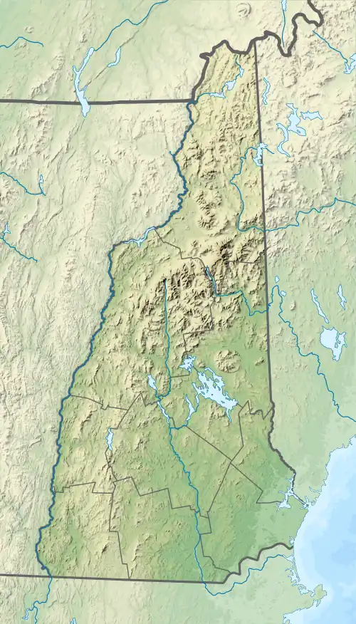
| State | New Hampshire |
| County | Coos |
| Towns | Dixville, Colebrook |
| Physical characteristics | |
| Source | Lake Gloriette |
| • location | Dixville Notch |
| • coordinates | 44°52′02″N 71°18′27″W / 44.86728°N 71.30752°W / 44.86728; -71.30752 |
| • elevation | 1,846 ft (563 m) |
| Mouth | Connecticut River |
• location | Colebrook |
• coordinates | 44°54′02″N 71°30′17″W / 44.9006°N 71.5047°W / 44.9006; -71.5047 |
• elevation | 995 ft (303 m) |
| Length | 13.8 mi (22.2 km) |
| Basin features | |
| Tributaries | |
| • left | Roaring Brook |
| • right | Moose Brook, West Branch, Read Brook, Beaver Brook |
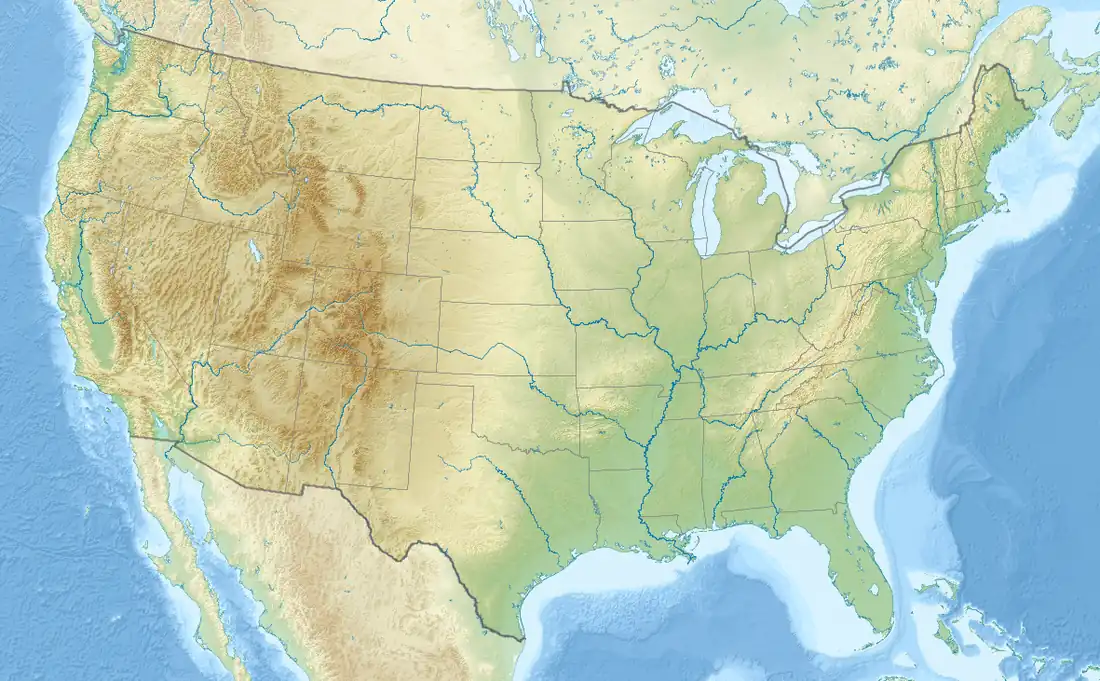
The Mohawk River is a 13.8-mile-long (22.2 km)[1] river in northern New Hampshire in the United States. It is a tributary of the Connecticut River, which flows south to Long Island Sound, an arm of the Atlantic Ocean.
The Mohawk River rises at the outlet of Lake Gloriette in Dixville Notch and flows west-northwest to the Connecticut River in the town of Colebrook. It is paralleled for most of its length by New Hampshire Route 26.
See also
References
| Gulf of Maine |
| ||||||||||
|---|---|---|---|---|---|---|---|---|---|---|---|
| Long Island Sound |
| ||||||||||
This article is issued from Wikipedia. The text is licensed under Creative Commons - Attribution - Sharealike. Additional terms may apply for the media files.