Přestavlky | |
|---|---|
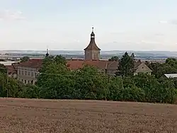 Přestavlky Castle | |
 Flag  Coat of arms | |
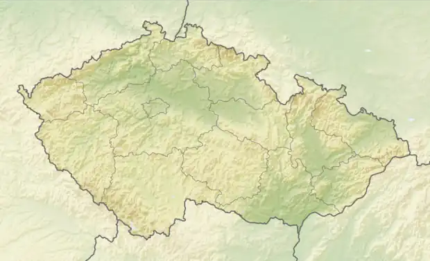 Přestavlky Location in the Czech Republic | |
| Coordinates: 49°23′25″N 17°28′54″E / 49.39028°N 17.48167°E | |
| Country | |
| Region | Olomouc |
| District | Přerov |
| First mentioned | 1275 |
| Area | |
| • Total | 3.63 km2 (1.40 sq mi) |
| Elevation | 275 m (902 ft) |
| Population (2023-01-01)[1] | |
| • Total | 256 |
| • Density | 71/km2 (180/sq mi) |
| Time zone | UTC+1 (CET) |
| • Summer (DST) | UTC+2 (CEST) |
| Postal code | 750 02 |
| Website | www |
Přestavlky is a municipality and village in Přerov District in the Olomouc Region of the Czech Republic. It has about 300 inhabitants.
Přestavlky lies approximately 8 kilometres (5 mi) south of Přerov, 28 km (17 mi) south-east of Olomouc, and 233 km (145 mi) east of Prague.
References
Wikimedia Commons has media related to Přestavlky (Přerov District).
This article is issued from Wikipedia. The text is licensed under Creative Commons - Attribution - Sharealike. Additional terms may apply for the media files.