| Mount Hooker | |
|---|---|
 Mount Hooker Location in Alberta and British Columbia 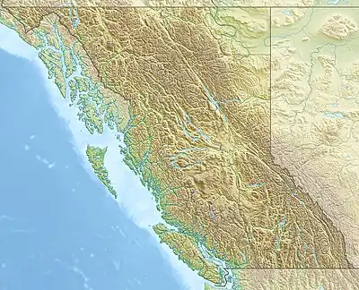 Mount Hooker Mount Hooker (British Columbia) | |
| Highest point | |
| Elevation | 3,287 m (10,784 ft)[1] |
| Prominence | 540 m (1,770 ft)[2] |
| Listing | |
| Coordinates | 52°24′20″N 118°05′41″W / 52.4055556°N 118.0947222°W[3] |
| Geography | |
| Country | Canada |
| Provinces | Alberta and British Columbia |
| Parent range | Park Ranges |
| Topo map | NTS 83D8 Athabasca Pass[3] |
| Climbing | |
| First ascent | 1924 by Alfred J. Ostheimer, M.M. Strumia, J. Monroe Thorington, guided by Conrad Kain[2] |
Mount Hooker is located on the border of Alberta and British Columbia, Canada. It was named in 1827 by David Douglas after William Jackson Hooker.[1][2] Until the turn of the century, Mount Hooker and the nearby Mount Brown were thought to be the highest mountains in the Canadian Rockies (see Hooker and Brown).
See also
References
- 1 2 "Mount Hooker". cdnrockiesdatabases.ca. Retrieved 2019-08-20.
- 1 2 3 "Mount Hooker". Bivouac.com. Retrieved 2010-02-10.
- 1 2 "Mount Hooker (Alberta)". Geographical Names Data Base. Natural Resources Canada. Retrieved 2021-08-27.
External links
This article is issued from Wikipedia. The text is licensed under Creative Commons - Attribution - Sharealike. Additional terms may apply for the media files.