Lahourcade | |
|---|---|
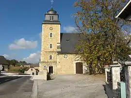 Lahourcade church | |
Location of Lahourcade | |
 Lahourcade 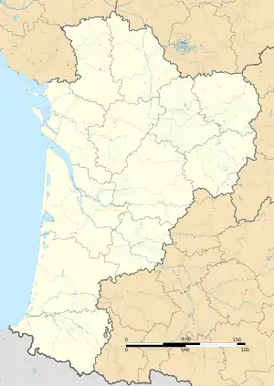 Lahourcade | |
| Coordinates: 43°21′19″N 0°36′58″W / 43.3553°N 0.6161°W | |
| Country | France |
| Region | Nouvelle-Aquitaine |
| Department | Pyrénées-Atlantiques |
| Arrondissement | Pau |
| Canton | Le Cœur de Béarn |
| Government | |
| • Mayor (2020–2026) | Bernard Gobert[1] |
| Area 1 | 10.94 km2 (4.22 sq mi) |
| Population | 703 |
| • Density | 64/km2 (170/sq mi) |
| Time zone | UTC+01:00 (CET) |
| • Summer (DST) | UTC+02:00 (CEST) |
| INSEE/Postal code | 64306 /64150 |
| Elevation | 110–267 m (361–876 ft) (avg. 155 m or 509 ft) |
| 1 French Land Register data, which excludes lakes, ponds, glaciers > 1 km2 (0.386 sq mi or 247 acres) and river estuaries. | |
Lahourcade (French pronunciation: [la.uʁkad]; Occitan: La Horcada) is a commune in the Pyrénées-Atlantiques department in south-western France.
Geography
Neighbouring communes:
Administration
| Term | Name[3] | Party |
|---|---|---|
| 1989–1995 | Michel Ardohain | |
| 1995–2008 | Jean-Pierre Ladaurade | |
| 2008–2020 | Gérard Paloumet | |
| since 2020 | Bernard Gobert |
See also
References
- ↑ "Répertoire national des élus: les maires" (in French). data.gouv.fr, Plateforme ouverte des données publiques françaises. 13 September 2022.
- ↑ "Populations légales 2021". The National Institute of Statistics and Economic Studies. 28 December 2023.
- ↑ Village de Lahourcade, annuaire-mairie.fr. Retrieved 1 December 2022.
Wikimedia Commons has media related to Lahourcade.
This article is issued from Wikipedia. The text is licensed under Creative Commons - Attribution - Sharealike. Additional terms may apply for the media files.