Campitello (Campitellu) is located on the island of Corsica in the Mediterranean sea.
Campitello | |
|---|---|
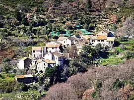 The hamlet of Panicale, in Campitello | |
Location of Campitello | |
 Campitello 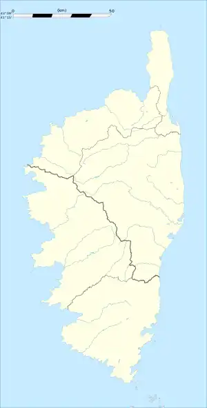 Campitello | |
| Coordinates: 42°31′46″N 9°19′02″E / 42.5294°N 9.3172°E | |
| Country | France |
| Region | Corsica |
| Department | Haute-Corse |
| Arrondissement | Corte |
| Canton | Golo-Morosaglia |
| Government | |
| • Mayor (2023–2026) | Jean Mazzoni[1] |
| Area 1 | 8.22 km2 (3.17 sq mi) |
| Population | 112 |
| • Density | 14/km2 (35/sq mi) |
| Time zone | UTC+01:00 (CET) |
| • Summer (DST) | UTC+02:00 (CEST) |
| INSEE/Postal code | 2B055 /20252 |
| Elevation | 112–1,231 m (367–4,039 ft) (avg. 500 m or 1,600 ft) |
| 1 French Land Register data, which excludes lakes, ponds, glaciers > 1 km2 (0.386 sq mi or 247 acres) and river estuaries. | |
Campitello is a commune in the Haute-Corse department of France on the island of Corsica. Campitellu is a village located in A Custera. It is divided in 3 hamlets called : Progliolu, Bagnolu and Panicale.
Population
| Year | Pop. | ±% |
|---|---|---|
| 1962 | 125 | — |
| 1968 | 143 | +14.4% |
| 1975 | 119 | −16.8% |
| 1982 | 102 | −14.3% |
| 1990 | 91 | −10.8% |
| 1999 | 103 | +13.2% |
| 2008 | 102 | −1.0% |
See also
References
- ↑ "Répertoire national des élus: les maires" (in French). data.gouv.fr, Plateforme ouverte des données publiques françaises. 6 June 2023.
- ↑ "Populations légales 2021". The National Institute of Statistics and Economic Studies. 28 December 2023.
Wikimedia Commons has media related to Campitello.
This article is issued from Wikipedia. The text is licensed under Creative Commons - Attribution - Sharealike. Additional terms may apply for the media files.