Vertova | |
|---|---|
| Comune di Vertova | |
 Vertova | |
 Coat of arms | |
Location of Vertova | |
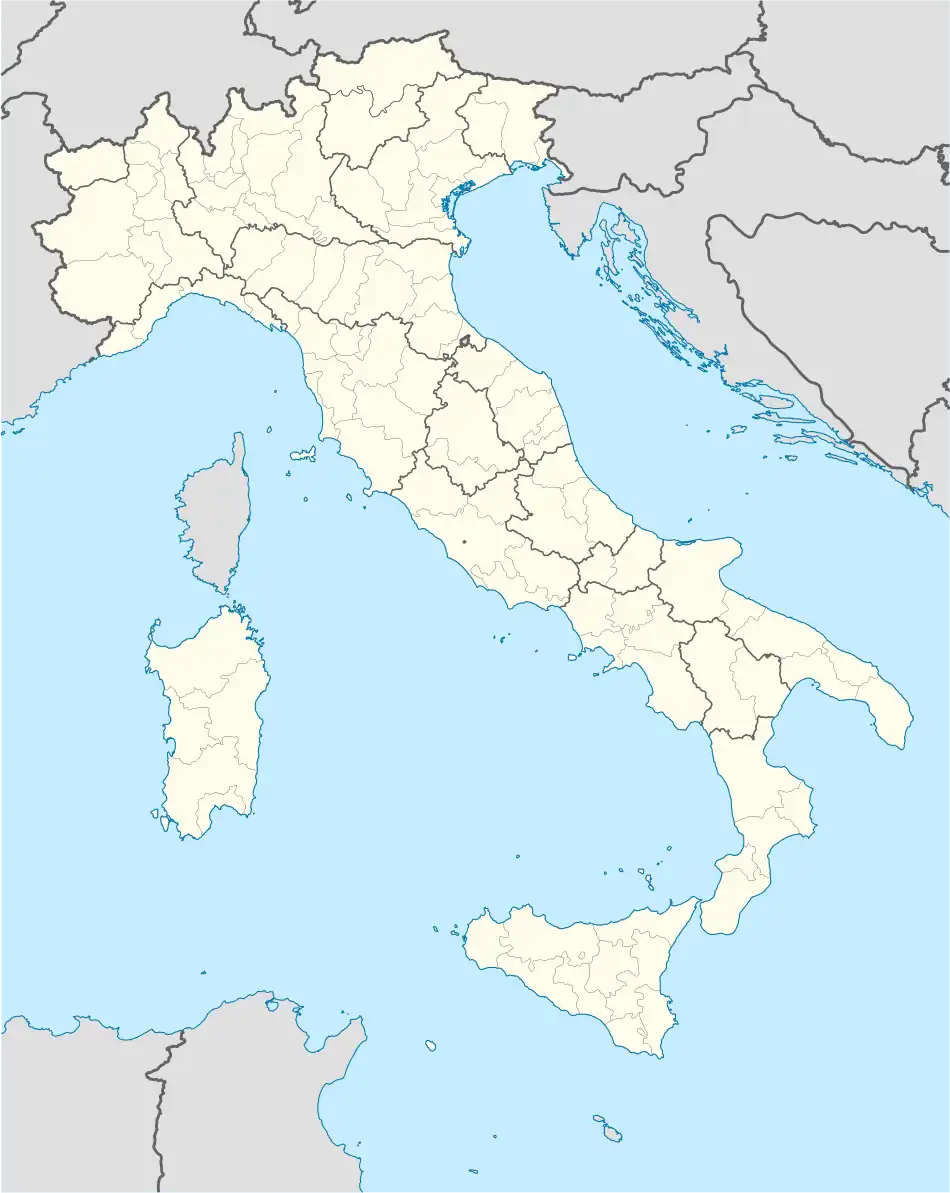 Vertova Location of Vertova in Italy 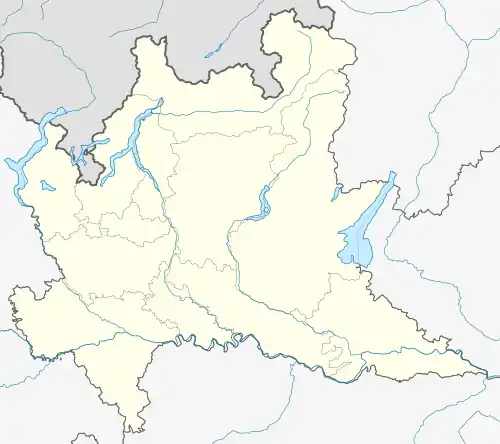 Vertova Vertova (Lombardy) | |
| Coordinates: 45°49′N 9°51′E / 45.817°N 9.850°E | |
| Country | Italy |
| Region | Lombardy |
| Province | Bergamo (BG) |
| Frazioni | Semonte |
| Government | |
| • Mayor | Orlando Gualdi |
| Area | |
| • Total | 15.69 km2 (6.06 sq mi) |
| Elevation | 397 m (1,302 ft) |
| Population (31 May 2021)[2] | |
| • Total | 4,499 |
| • Density | 290/km2 (740/sq mi) |
| Demonym | Vertovesi |
| Time zone | UTC+1 (CET) |
| • Summer (DST) | UTC+2 (CEST) |
| Postal code | 24029 |
| Dialing code | 035 |
| Website | Official website |
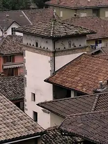
the Colombera tower
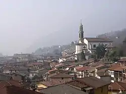
Vertova (Bergamasque: Èrfa or Èrtoa) is a comune (municipality) in the Province of Bergamo in the Italian region of Lombardy, located about 70 kilometres (43 mi) northeast of Milan and about 20 kilometres (12 mi) northeast of Bergamo. As of 31 May 2021, it had a population of 4,449 and an area of 15.69 square kilometres (6.06 sq mi).
Vertova borders the following municipalities: Casnigo, Colzate, Cornalba, Costa di Serina, Fiorano al Serio, Gazzaniga, Oneta.
Main sights
- Parish church of Santa Maria Assunta
- Church of San Lorenzo
- Historical center
- Capuchin Convent
References
- ↑ "Superficie di Comuni Province e Regioni italiane al 9 ottobre 2011". Italian National Institute of Statistics. Retrieved 16 March 2019.
- ↑ All demographics and other statistics: Italian statistical institute Istat.
This article is issued from Wikipedia. The text is licensed under Creative Commons - Attribution - Sharealike. Additional terms may apply for the media files.