Valros | |
|---|---|
.jpg.webp) The road into Valros | |
.svg.png.webp) Coat of arms | |
Location of Valros | |
 Valros 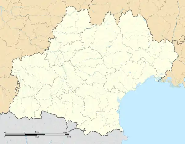 Valros | |
| Coordinates: 43°25′16″N 3°22′02″E / 43.4211°N 3.3672°E | |
| Country | France |
| Region | Occitania |
| Department | Hérault |
| Arrondissement | Béziers |
| Canton | Pézenas |
| Intercommunality | CA Béziers Méditerranée |
| Government | |
| • Mayor (2020–2026) | Michel Loup[1] |
| Area 1 | 6.61 km2 (2.55 sq mi) |
| Population | 1,645 |
| • Density | 250/km2 (640/sq mi) |
| Time zone | UTC+01:00 (CET) |
| • Summer (DST) | UTC+02:00 (CEST) |
| INSEE/Postal code | 34325 /34290 |
| Elevation | 24–99 m (79–325 ft) |
| 1 French Land Register data, which excludes lakes, ponds, glaciers > 1 km2 (0.386 sq mi or 247 acres) and river estuaries. | |
Valros is a commune in the Hérault department in the Occitanie region in southern France.
Population
| Year | Pop. | ±% |
|---|---|---|
| 1962 | 768 | — |
| 1968 | 788 | +2.6% |
| 1975 | 761 | −3.4% |
| 1982 | 753 | −1.1% |
| 1990 | 1,021 | +35.6% |
| 1999 | 1,130 | +10.7% |
| 2008 | 1,252 | +10.8% |
| 2011 | 1,404 | +12.1% |
Sights and monuments
Fort de Valros (also known locally as Tour de Valros) is a ruined small castle or fortress. In the mid-19th century, the fort was the site of a semaphore station.
See also
References
- ↑ "Répertoire national des élus: les maires". data.gouv.fr, Plateforme ouverte des données publiques françaises (in French). 2 December 2020.
- ↑ "Populations légales 2021". The National Institute of Statistics and Economic Studies. 28 December 2023.
Wikimedia Commons has media related to Valros.
This article is issued from Wikipedia. The text is licensed under Creative Commons - Attribution - Sharealike. Additional terms may apply for the media files.