Therubali Airstrip | |||||||||||
|---|---|---|---|---|---|---|---|---|---|---|---|
| Summary | |||||||||||
| Airport type | Private | ||||||||||
| Operator | Indian Metals and Ferro Alloys Ltd (IMFA) | ||||||||||
| Serves | Rayagada | ||||||||||
| Location | Therubali, Odisha (India) | ||||||||||
| Elevation AMSL | 859 ft / 262 m | ||||||||||
| Coordinates | 19°20′44″N 83°26′04″E / 19.34556°N 83.43444°E | ||||||||||
| Map | |||||||||||
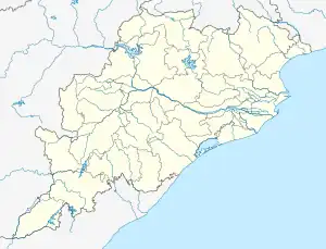 Therubali Airstrip Location in Odisha 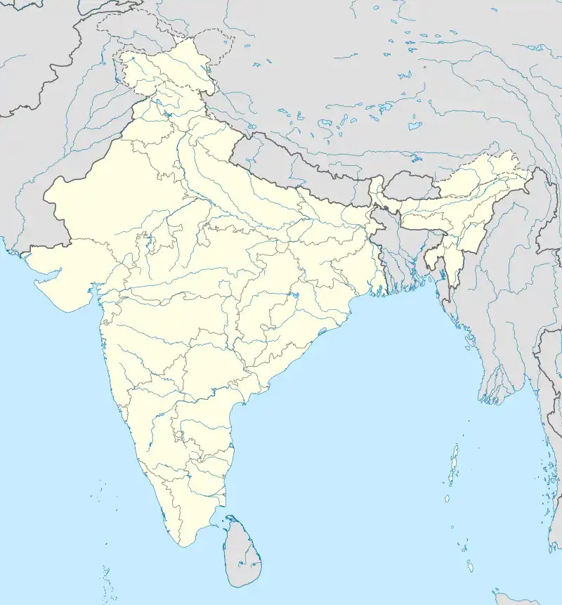 Therubali Airstrip Therubali Airstrip (India) | |||||||||||
| Runways | |||||||||||
| |||||||||||
Therubali Airstrip is a private airport located 3.3 km from Therubali city center in Rayagada district, Odisha.The Airstrip is spread over 30 acres and is under the control of the Indian Metals and Ferro Alloys Ltd (IMFA). The runway is 1,135 meters (around 3,724 ft) long and is periodically maintained by the IMFA.[1][2][3]
See also
References
- ↑ "Therubali Airport - Rayagada, Odisha" (PDF). Airport Authority of India. Archived from the original (PDF) on 1 May 2018. Retrieved 30 April 2018.
- ↑ "List of Airstrip in the State maintained by State Government" (PDF). ct.odisha.gov.in. Commerce and Transport Department, Government of Odisha. Retrieved 14 January 2023.
- ↑ "AAI Unserved Airports" (PDF). aai.aero. Airports Authority of India.
This article is issued from Wikipedia. The text is licensed under Creative Commons - Attribution - Sharealike. Additional terms may apply for the media files.