Tacoignières | |
|---|---|
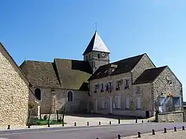 Town hall | |
 Coat of arms | |
Location of Tacoignières | |
 Tacoignières 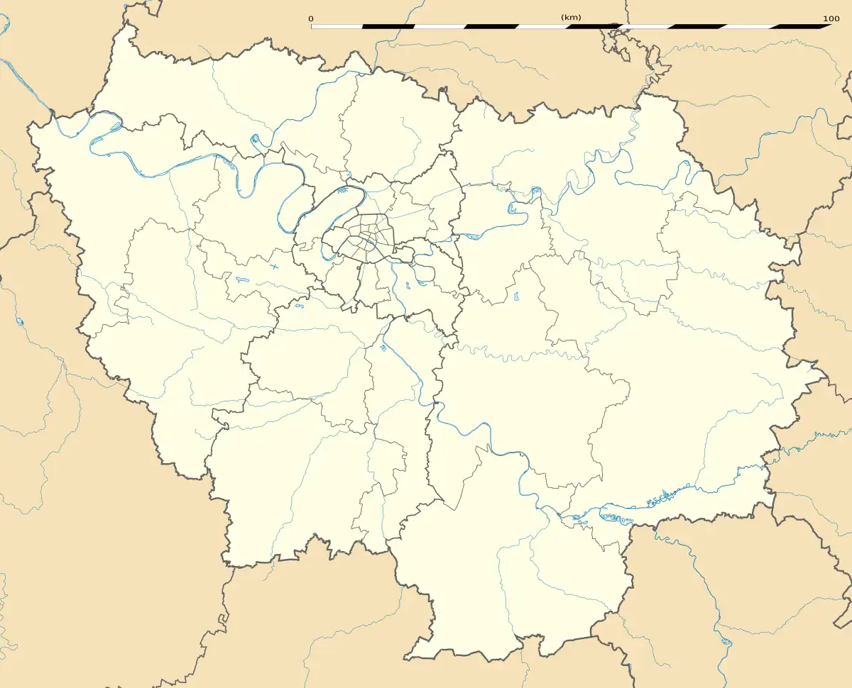 Tacoignières | |
| Coordinates: 48°50′13″N 1°40′32″E / 48.8369°N 1.6756°E | |
| Country | France |
| Region | Île-de-France |
| Department | Yvelines |
| Arrondissement | Mantes-la-Jolie |
| Canton | Bonnières-sur-Seine |
| Intercommunality | Pays Houdanais |
| Government | |
| • Mayor (2020–2026) | Patrice Le Bail[1] |
| Area 1 | 3.17 km2 (1.22 sq mi) |
| Population | 1,143 |
| • Density | 360/km2 (930/sq mi) |
| Time zone | UTC+01:00 (CET) |
| • Summer (DST) | UTC+02:00 (CEST) |
| INSEE/Postal code | 78605 /78910 |
| Elevation | 119–153 m (390–502 ft) |
| 1 French Land Register data, which excludes lakes, ponds, glaciers > 1 km2 (0.386 sq mi or 247 acres) and river estuaries. | |
Tacoignières (French pronunciation: [takwaɲɛʁ]) is a commune in the Yvelines department in the Île-de-France in north-central France.
Population
| Year | Pop. | ±% p.a. |
|---|---|---|
| 1968 | 345 | — |
| 1975 | 512 | +5.80% |
| 1982 | 671 | +3.94% |
| 1990 | 778 | +1.87% |
| 1999 | 956 | +2.32% |
| 2007 | 1,027 | +0.90% |
| 2012 | 1,047 | +0.39% |
| 2017 | 1,034 | −0.25% |
| Source: INSEE[3] | ||
See also
References
- ↑ "Répertoire national des élus: les maires" (in French). data.gouv.fr, Plateforme ouverte des données publiques françaises. 13 September 2022.
- ↑ "Populations légales 2021". The National Institute of Statistics and Economic Studies. 28 December 2023.
- ↑ Population en historique depuis 1968, INSEE
Wikimedia Commons has media related to Tacoignières.
This article is issued from Wikipedia. The text is licensed under Creative Commons - Attribution - Sharealike. Additional terms may apply for the media files.