Starolaspa
Староласпа | |
|---|---|
 Coat of arms | |
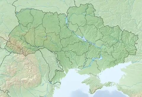 Starolaspa Location of Starolaspa within Ukraine | |
| Coordinates: 47°33′41″N 37°58′37″E / 47.56139°N 37.97694°E | |
| Country | Ukraine |
| Province | Donetsk Oblast |
| District | Boykivske Raion |
| Founded | 1788 |
| Elevation | 97 m (318 ft) |
| Population | |
| • Total | 857 |
| Time zone | UTC+2 (EET) |
| • Summer (DST) | UTC+3 (EEST) |
| Postal code | 87111 |
| Area code | +380 6279 |
Starolaspa (Ukrainian: Староласпа; Russian: Староласпа; Urum: Эст’и Ласпи) is a village in Boykivske Raion (district) in Donetsk Oblast of eastern Ukraine, at 67.7 km SSE from the centre of Donetsk city, on the right bank of the Kalmius river.
During the War in Donbass, that started in 2014, the village was taken under control of pro-Russian forces.[2][3]
Demographics

Sunset over Laspa
Native language as of the Ukrainian Census of 2001:[1]
References
- 1 2 "Офіційна сторінка Всеукраїнського перепису населення | Банк даних" [All-Ukrainian population census | Database]. ukrcensus.gov.ua (in Ukrainian). Retrieved 24 August 2023.
- ↑ "Кабмин назвал города Донбасса, подконтрольные сепаратистам". korrespondent.net. Retrieved 9 October 2015.
- ↑ "Обстрелами ВСУ повреждено пять жилых домов в Староласпе Тельмановского района". ДНР - ДОНЕЦКАЯ НАРОДНАЯ РЕСПУБЛИКА, НОВОСТИ ДНР, САЙТ ДНР. Retrieved 9 October 2015.
External links
This article is issued from Wikipedia. The text is licensed under Creative Commons - Attribution - Sharealike. Additional terms may apply for the media files.