| Stöttingfjället | |
|---|---|
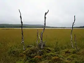 Kroksjön near the village Kroksjö on Stöttingfjället in Lycksele municipality. | |
| Highest point | |
| Elevation | 716 m (2,349 ft) |
| Coordinates | 64°40′00″N 17°36′00″E / 64.6667°N 17.6000°E |
| Geography | |
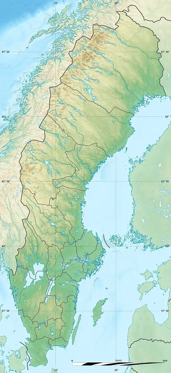 Stöttingfjället | |
| Geology | |
| Age of rock | Paleoproterozoic |
Stöttingfjället is a highland in Swedish Lapland. Geologically, the southeastern portion of Stöttingsfjället is interpreted as being a part of the Sub-Cambrian peneplain that have been uplifted by faults.[1]
References
- ↑ Lidmar-Bergström, Karna; Olvmo, Mats (2015). Plains, steps, hilly relief and valleys in northern Sweden – review, interpretations and implications for conclusions on Phanerozoic tectonics (PDF) (Report). Geological Survey of Sweden. p. 12. Retrieved June 29, 2016.
This article is issued from Wikipedia. The text is licensed under Creative Commons - Attribution - Sharealike. Additional terms may apply for the media files.