Sioux, North Carolina | |
|---|---|
 U.S. Route 19W southbound outside of Sioux | |
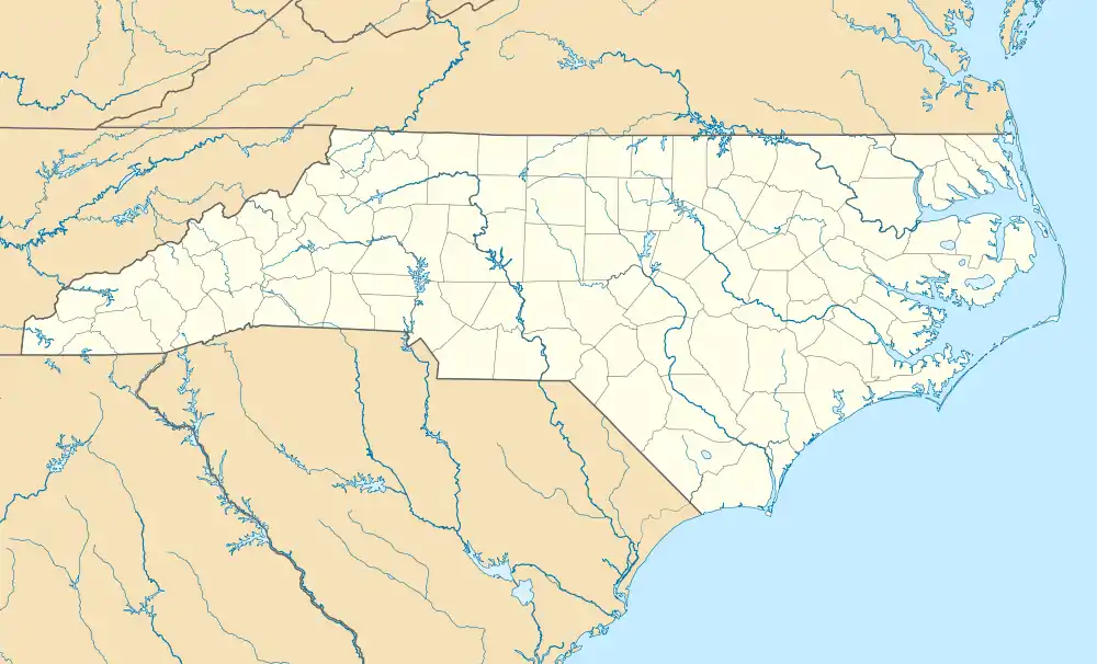
 Sioux Location within the state of North Carolina | |
| Coordinates: 36°01′16.4″N 82°21′42.2″W / 36.021222°N 82.361722°W | |
| Country | United States |
| State | North Carolina |
| County | Yancey |
| Elevation | 2,277[1] ft (996 m) |
| Population (2020) | |
| • Total | ~30 |
| Time zone | UTC-5 (Eastern (EST)) |
| • Summer (DST) | UTC-4 (EDT) |
| ZIP code | 28714 |
| Area code | 828 |
| GNIS feature ID | 1022645 |
Sioux is an unincorporated community in far northern Yancey County, North Carolina, in the Ramseytown Township located alongside Big Creek, a tributary of the Cane River.
History
Sioux formerly had a post office. It was established on September 6, 1887, and closed on September 30, 1955. The first postmaster was Spencer P. Atkins (1858–1928).[2][3] Also in Sioux is the abandoned J.C. Bailey General Store, operated by early Yancey County settler John C. "Yellow Jacket" Bailey.[4]
Transportation
U.S. Route 19W runs through Sioux.
References
- ↑ US Department of the Interior, USGS. "National Weather Service". edits.nationalmap.gov. Retrieved 2023-10-21.
- ↑ "Yancey County Post Offices 1833 to 1971 - Alphabetical Order". www.carolana.com. Retrieved 2023-10-21.
- ↑ Bodford, Gwen (6 November 2009). "Yancey County, NC - Ledford-Atkins Cemetery". USGenWeb Archives. Retrieved 21 October 2023.
- ↑ Shook, Mitzi (1981). "Historic and Architectural Resources of Yancey County, North Carolina". North Carolina Department of Natural and Cultural Resources. Retrieved 21 October 2023.
This article is issued from Wikipedia. The text is licensed under Creative Commons - Attribution - Sharealike. Additional terms may apply for the media files.
