| Sekayam River Sungai Sekayam, Sungai Sekajam, Soengai Sekajan | |
|---|---|
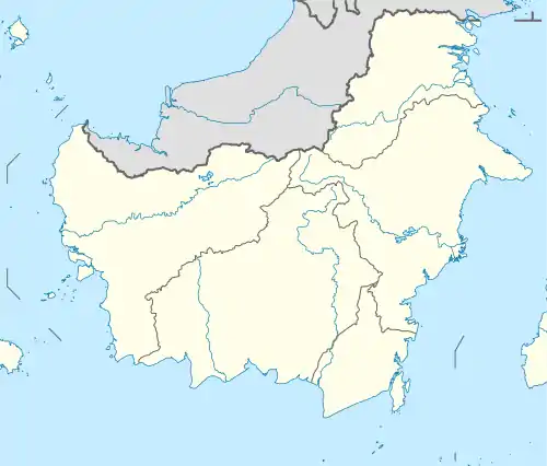
 River mouth location  Sekayam River (Indonesia) | |
| Location | |
| Country | Indonesia |
| Physical characteristics | |
| Source | |
| • location | Borneo |
| Mouth | Kapuas River |
• location | Sanggau |
| Basin features | |
| River system | Kapuas basin (DAS320470)[1] |
Sekayam River is a river of Borneo, West Kalimantan province, Indonesia.[2] It is a tributary of the Kapuas River.[3] The Public Forest System Utility Program (Program Pemberdayaan Sistem Hutan Kerakyatan; PPSHK) has a scheme on the river aimed at reducing the level of mercury content absorbed by humans.[4]
Hydrology
The river flows through the dense rainforest of Borneo. The Entabai River enters the Sekayam River.
Geography
The river flows in the western area of Borneo island with predominantly tropical rainforest climate (designated as Af in the Köppen-Geiger climate classification).[5] The annual average temperature in the area is 23 °C. The warmest month is August, when the average temperature is around 24 °C, and the coldest is November, at 20 °C.[6] The average annual rainfall is 3680 mm. The wettest month is December, with an average of 466 mm rainfall, and the driest is June, with 181 mm rainfall.[7]
Use
During the 1880s the river was exploited for its Cinnabar and antimony in its far upper course.[8]
See also
References
- ↑ Hukum Online. "Keputusan Menteri Kehutanan No. SK.511/MENHUT-V/2011" (in Indonesian).
- ↑ Rand McNally, The New International Atlas, 1993.
- ↑ Sungai Sekayam at Geonames.org (cc-by); Last updated 2012-01-17; Database dump downloaded 2015-11-27
- ↑ "Increasing Public and Community Awareness on Health and Environment Impacted by Mercury in Sekayam Watershed, West Kalimantan (INDO/04/53)". UNDP. Retrieved October 30, 2010.
- ↑ Peel, M C; Finlayson, B L; McMahon, T A (2007). "Updated world map of the Köppen-Geiger climate classification". Hydrology and Earth System Sciences. 11 (5): 1633–1644. Bibcode:2007HESS...11.1633P. doi:10.5194/hess-11-1633-2007.
- ↑ "NASA Earth Observations Data Set Index". NASA. 30 January 2016.
- ↑ "NASA Earth Observations: Rainfall (1 month - TRMM)". NASA/Tropical Rainfall Monitoring Mission. 30 January 2016.
- ↑ Tagliacozzo, Eric (2007). Secret trades, porous borders: smuggling and states along a Southeast Asian frontier, 1865-1915. NUS Press. p. 36. ISBN 978-9971-69-385-5.