Schlaiten | |
|---|---|
 Coat of arms | |
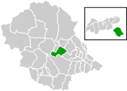 Location within Lienz district | |
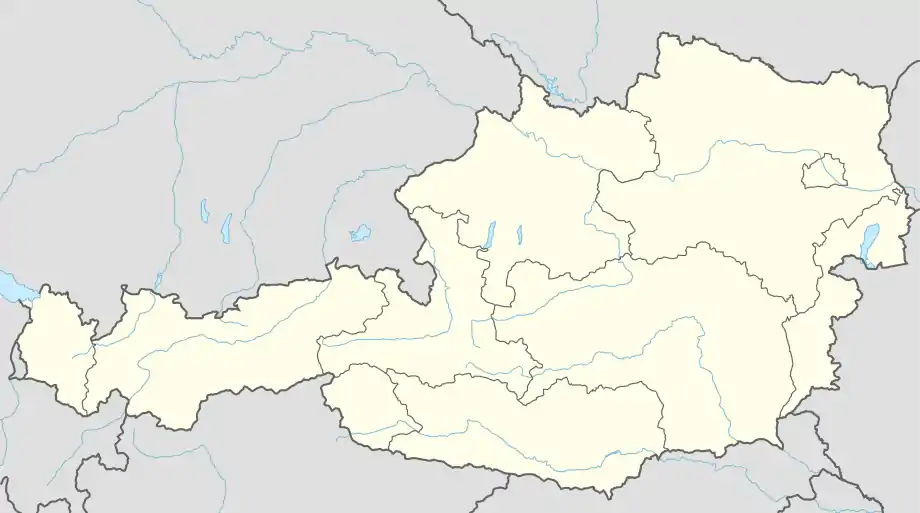 Schlaiten Location within Austria | |
| Coordinates: 46°52′38″N 12°39′21″E / 46.87722°N 12.65583°E | |
| Country | Austria |
| State | Tyrol |
| District | Lienz |
| Government | |
| • Mayor | Erich Gliber (HLS) |
| Area | |
| • Total | 36.64 km2 (14.15 sq mi) |
| Elevation | 876 m (2,874 ft) |
| Population (2018-01-01)[2] | |
| • Total | 474 |
| • Density | 13/km2 (34/sq mi) |
| Time zone | UTC+1 (CET) |
| • Summer (DST) | UTC+2 (CEST) |
| Postal code | 9954 |
| Area code | 4853 |
| Vehicle registration | LZ |
Schlaiten is a municipality in the district of Lienz in the Austrian state of Tyrol. Its name is of Slavonic origin, deriving from *slatina, which means swamp. The municipality consists of the following neighbourhoods: Plone, Gonzach, Mesnerdorf, Bacherdorf, Gantschach and Göriach.
Population
| Year | Pop. | ±% |
|---|---|---|
| 1869 | 337 | — |
| 1880 | 339 | +0.6% |
| 1890 | 317 | −6.5% |
| 1900 | 289 | −8.8% |
| 1910 | 302 | +4.5% |
| 1923 | 293 | −3.0% |
| 1934 | 330 | +12.6% |
| 1939 | 323 | −2.1% |
| 1951 | 345 | +6.8% |
| 1961 | 431 | +24.9% |
| 1971 | 447 | +3.7% |
| 1981 | 453 | +1.3% |
| 1991 | 466 | +2.9% |
| 2001 | 498 | +6.9% |
| 2012 | 468 | −6.0% |
References
- ↑ "Dauersiedlungsraum der Gemeinden Politischen Bezirke und Bundesländer - Gebietsstand 1.1.2018". Statistics Austria. Retrieved 10 March 2019.
- ↑ Population at the beginning of the year for municipalities since 2002 (in German), Statistics Austria, January 2023, Wikidata Q27838750
Wikimedia Commons has media related to Schlaiten.
This article is issued from Wikipedia. The text is licensed under Creative Commons - Attribution - Sharealike. Additional terms may apply for the media files.