| Schlüechtli | |
|---|---|
 Signina group from the north with Schlüechtli on the far left. | |
| Highest point | |
| Elevation | 2,283 m (7,490 ft) |
| Prominence | 83 m (272 ft)[1] |
| Parent peak | Rheinwaldhorn |
| Isolation | 1.1 km (0.68 mi) |
| Coordinates | 46°45′32.4″N 9°19′24.8″E / 46.759000°N 9.323556°E |
| Geography | |
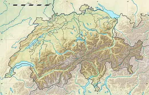 Schlüechtli Location in Switzerland | |
| Location | Graubünden, Switzerland |
| Parent range | Lepontine Alps |
The Schlüechtli is a mountain of the Swiss Lepontine Alps, situated south of Versam in the canton of Graubünden. It lies between the valleys of Turischtobel and Safien, approximately 5 kilometres south of the anterior Rhine.
References
External links
This article is issued from Wikipedia. The text is licensed under Creative Commons - Attribution - Sharealike. Additional terms may apply for the media files.