Sarrians | |
|---|---|
.JPG.webp) Town hall | |
.svg.png.webp) Coat of arms | |
Location of Sarrians | |
 Sarrians 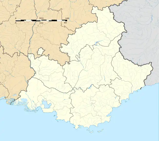 Sarrians | |
| Coordinates: 44°05′03″N 4°58′19″E / 44.0842°N 4.9719°E | |
| Country | France |
| Region | Provence-Alpes-Côte d'Azur |
| Department | Vaucluse |
| Arrondissement | Carpentras |
| Canton | Monteux |
| Intercommunality | CA Ventoux-Comtat Venaissin |
| Government | |
| • Mayor (2020–2026) | Anne-Marie Bardet[1] |
| Area 1 | 37.49 km2 (14.47 sq mi) |
| Population | 5,932 |
| • Density | 160/km2 (410/sq mi) |
| Time zone | UTC+01:00 (CET) |
| • Summer (DST) | UTC+02:00 (CEST) |
| INSEE/Postal code | 84122 /84260 |
| Elevation | 26–118 m (85–387 ft) (avg. 36 m or 118 ft) |
| 1 French Land Register data, which excludes lakes, ponds, glaciers > 1 km2 (0.386 sq mi or 247 acres) and river estuaries. | |
Sarrians (French pronunciation: [saʁjɑ̃]; Occitan: Sarrian) is a commune in the Vaucluse department in the Provence-Alpes-Côte d'Azur region in southeastern France.
Population
| Year | Pop. | ±% p.a. |
|---|---|---|
| 1968 | 3,554 | — |
| 1975 | 4,052 | +1.89% |
| 1982 | 5,030 | +3.14% |
| 1990 | 5,094 | +0.16% |
| 1999 | 5,459 | +0.77% |
| 2007 | 5,705 | +0.55% |
| 2012 | 5,841 | +0.47% |
| 2017 | 6,065 | +0.76% |
| Source: INSEE[3] | ||
Hominin remains
Several hominin bones, showing breakages due to sediment pressure, have been found nearby.[4]
See also
References
- ↑ "Répertoire national des élus: les maires". data.gouv.fr, Plateforme ouverte des données publiques françaises (in French). 2 December 2020.
- ↑ "Populations légales 2021". The National Institute of Statistics and Economic Studies. 28 December 2023.
- ↑ Population en historique depuis 1968, INSEE
- ↑ "Breakage Patterns of Human Long Bons | PDF | Bone | Excavation (Archaeology)".
Wikimedia Commons has media related to Sarrians.
This article is issued from Wikipedia. The text is licensed under Creative Commons - Attribution - Sharealike. Additional terms may apply for the media files.