Sand | |
|---|---|
Village | |
.svg.png.webp) Flag  Coat of arms | |
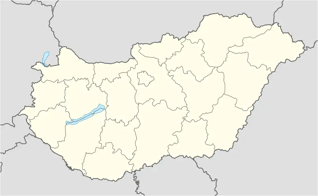 Sand Location of Sand | |
| Coordinates: 46°25′22″N 17°07′31″E / 46.42266°N 17.12528°E | |
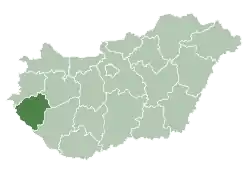
| Country | Hungary |
| Region | Western Transdanubia |
| County | Zala |
| District | Nagykanizsa |
| Area | |
| • Total | 7.48 km2 (2.89 sq mi) |
| Population (1 January 2023)[1] | |
| • Total | 343 |
| • Density | 46/km2 (120/sq mi) |
| Time zone | UTC+1 (CET) |
| • Summer (DST) | UTC+2 (CEST) |
| Postal code | 8824 |
| Area code | (+36) 93 |
Sand is a village in Zala County, Hungary. It is a very small agricultural town, located on gently rolling hills. There is an Evangelical church and a Catholic church near the center of town, and there are memorials to those who served in both world wars nearby. Sand is close to the towns of Csurgó, Iharosberény, and Liszó, and the largest town nearby is Nagykanizsa.
References
- ↑ Error: Unable to display the reference properly. See the documentation for details.
External links
- Street map (in Hungarian)
.svg.png.webp)
This article is issued from Wikipedia. The text is licensed under Creative Commons - Attribution - Sharealike. Additional terms may apply for the media files.