| Salt desert of Sirjan | |
|---|---|
.jpg.webp) | |
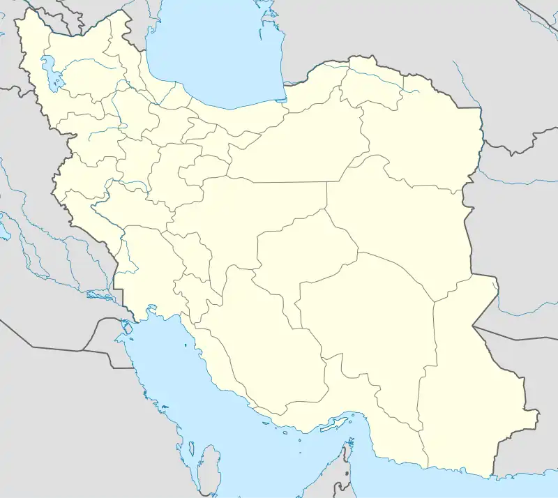 Salt desert of Sirjan Kerman, Iran | |
| Length | 35 km (22 mi) N-S |
| Width | 10 km (6.2 mi) E-W |
| Area | 350 km2 (140 sq mi) |
| Naming | |
| Native name | سيرجان (Persian) |
| Geography | |
| Country | Iran |
| Population center | Sirjan |
| Borders on | Road 86 (Iran) (south) |
| Coordinates | 29°19′46″N 55°28′03″E / 29.3295427°N 55.4674736°E |
.jpg.webp)
.jpg.webp)
Salt desert of Sirjan is a salt field in Iran that appears after arrival of a flood tide and evaporates. It is a field of soluble salt. Occasionally, rain turns it into a salt lake. The salt factory established near this place uses this salt to produce edible salt. Vegetation in area is very poor because of high temperature evaporation and poor soil.
This area is polluted and damaged because of the waste and garbage of the near iron factory.[1][2][3][4]
References
- ↑ http://sirjancity92.mihanblog.com/post/5
- ↑ http://nabzezendegi.ir/Thread-%DA%A9%D9%81%D9%87-%D9%86%D9%85%DA%A9-%D8%B3%DB%8C%D8%B1%D8%AC%D8%A7%D9%86
- ↑ "پايگاه تحليلي خبري نسيم صبا - اخبار ایران و جهان :: معرفی سیرجان/مکانهای دیدنی سیرجان".
- ↑ "آلودگی های زیستی و زباله های انسانی در کفه نمک سیرجان! - پایگاه خبری تحلیلی سیرنا "سیرجان نیوز"". Archived from the original on 2015-07-11. Retrieved 2015-07-10.
This article is issued from Wikipedia. The text is licensed under Creative Commons - Attribution - Sharealike. Additional terms may apply for the media files.