Saint-Erblon | |
|---|---|
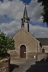 The church in Saint-Erblon | |
Location of Saint-Erblon | |
 Saint-Erblon 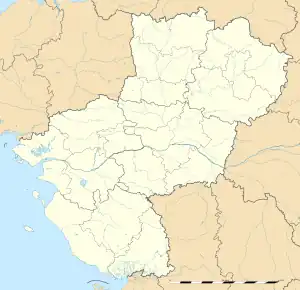 Saint-Erblon | |
| Coordinates: 47°47′17″N 1°09′59″W / 47.7881°N 1.1664°W | |
| Country | France |
| Region | Pays de la Loire |
| Department | Mayenne |
| Arrondissement | Château-Gontier |
| Canton | Cossé-le-Vivien |
| Intercommunality | Pays de Craon |
| Government | |
| • Mayor (2020–2026) | Olivier Gaucher[1] |
| Area 1 | 5.68 km2 (2.19 sq mi) |
| Population | 158 |
| • Density | 28/km2 (72/sq mi) |
| Time zone | UTC+01:00 (CET) |
| • Summer (DST) | UTC+02:00 (CEST) |
| INSEE/Postal code | 53214 /53390 |
| Elevation | 65–106 m (213–348 ft) (avg. 101 m or 331 ft) |
| 1 French Land Register data, which excludes lakes, ponds, glaciers > 1 km2 (0.386 sq mi or 247 acres) and river estuaries. | |
Saint-Erblon (French pronunciation: [sɛ̃.t‿ɛʁblɔ̃]) is a commune in the Mayenne department in north-western France.[3]
Geography
The Semnon forms all of the commune's northern border.
See also
References
- ↑ "Répertoire national des élus: les maires" (in French). data.gouv.fr, Plateforme ouverte des données publiques françaises. 13 September 2022.
- ↑ "Populations légales 2021". The National Institute of Statistics and Economic Studies. 28 December 2023.
- ↑ INSEE commune file
Wikimedia Commons has media related to Saint-Erblon (Mayenne).
This article is issued from Wikipedia. The text is licensed under Creative Commons - Attribution - Sharealike. Additional terms may apply for the media files.