Saint-Caprais | |
|---|---|
_2.jpg.webp) The town hall in Saint-Caprais | |
Location of Saint-Caprais | |
 Saint-Caprais 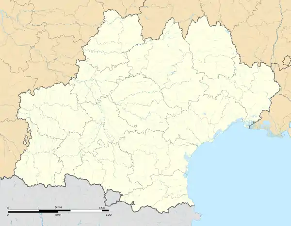 Saint-Caprais | |
| Coordinates: 43°35′41″N 0°47′17″E / 43.5947°N 0.7881°E | |
| Country | France |
| Region | Occitania |
| Department | Gers |
| Arrondissement | Auch |
| Canton | Auch-2 |
| Government | |
| • Mayor (2020–2026) | Philippe Gineste[1] |
| Area 1 | 7.89 km2 (3.05 sq mi) |
| Population | 143 |
| • Density | 18/km2 (47/sq mi) |
| Time zone | UTC+01:00 (CET) |
| • Summer (DST) | UTC+02:00 (CEST) |
| INSEE/Postal code | 32467 /32200 |
| Elevation | 155–237 m (509–778 ft) (avg. 220 m or 720 ft) |
| 1 French Land Register data, which excludes lakes, ponds, glaciers > 1 km2 (0.386 sq mi or 247 acres) and river estuaries. | |
Saint-Caprais (French pronunciation: [sɛ̃ kapʁɛ]; Gascon: Sent Crabari) is a commune in the Gers department in southwestern France.
Geography
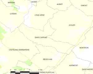
Saint-Caprais and its surrounding communes
Population
| Year | Pop. | ±% |
|---|---|---|
| 1962 | 93 | — |
| 1968 | 119 | +28.0% |
| 1975 | 104 | −12.6% |
| 1982 | 106 | +1.9% |
| 1990 | 101 | −4.7% |
| 1999 | 102 | +1.0% |
| 2008 | 122 | +19.6% |
See also
References
- ↑ "Répertoire national des élus: les maires". data.gouv.fr, Plateforme ouverte des données publiques françaises (in French). 9 August 2021.
- ↑ "Populations légales 2021". The National Institute of Statistics and Economic Studies. 28 December 2023.
Wikimedia Commons has media related to Saint-Caprais (Gers).
This article is issued from Wikipedia. The text is licensed under Creative Commons - Attribution - Sharealike. Additional terms may apply for the media files.