Saint-Aoustrille | |
|---|---|
.svg.png.webp) Coat of arms | |
Location of Saint-Aoustrille | |
 Saint-Aoustrille 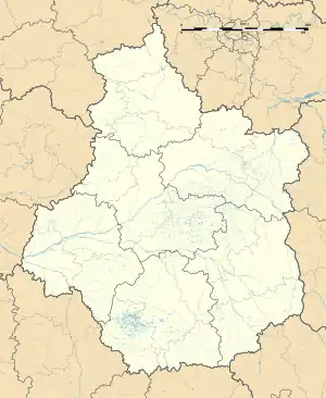 Saint-Aoustrille | |
| Coordinates: 46°56′22″N 1°55′20″E / 46.9394°N 1.9222°E | |
| Country | France |
| Region | Centre-Val de Loire |
| Department | Indre |
| Arrondissement | Issoudun |
| Canton | Levroux |
| Intercommunality | Champagne Boischauts |
| Government | |
| • Mayor (2020–2026) | Thierry Chauveau[1] |
| Area 1 | 19.47 km2 (7.52 sq mi) |
| Population | 224 |
| • Density | 12/km2 (30/sq mi) |
| Time zone | UTC+01:00 (CET) |
| • Summer (DST) | UTC+02:00 (CEST) |
| INSEE/Postal code | 36179 /36100 |
| Elevation | 127–163 m (417–535 ft) (avg. 152 m or 499 ft) |
| 1 French Land Register data, which excludes lakes, ponds, glaciers > 1 km2 (0.386 sq mi or 247 acres) and river estuaries. | |
Saint-Aoustrille (French pronunciation: [sɛ̃.t‿austʁij]) is a commune in the Indre department in central France.
It is named after the 7th-century Saint Austregisilus.
Population
| Year | Pop. | ±% p.a. |
|---|---|---|
| 1968 | 210 | — |
| 1975 | 202 | −0.55% |
| 1982 | 153 | −3.89% |
| 1990 | 181 | +2.12% |
| 1999 | 159 | −1.43% |
| 2009 | 163 | +0.25% |
| 2014 | 206 | +4.79% |
| 2020 | 234 | +2.15% |
| Source: INSEE[3] | ||
See also
References
- ↑ "Répertoire national des élus: les maires". data.gouv.fr, Plateforme ouverte des données publiques françaises (in French). 2 December 2020.
- ↑ "Populations légales 2021". The National Institute of Statistics and Economic Studies. 28 December 2023.
- ↑ Population en historique depuis 1968, INSEE
Wikimedia Commons has media related to Saint-Aoustrille.
This article is issued from Wikipedia. The text is licensed under Creative Commons - Attribution - Sharealike. Additional terms may apply for the media files.