Sabanilla | |
|---|---|
 Wood house in Sabanilla. | |
Sabanilla district | |
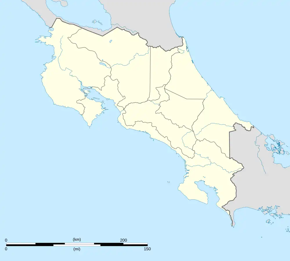
 Sabanilla Sabanilla district location in Costa Rica | |
| Coordinates: 9°56′35″N 84°02′00″W / 9.9431284°N 84.0332456°W | |
| Country | |
| Province | San José |
| Canton | Montes de Oca |
| Area | |
| • Total | 1.78 km2 (0.69 sq mi) |
| Elevation | 1,305 m (4,281 ft) |
| Population (2011) | |
| • Total | 10,775 |
| • Density | 6,100/km2 (16,000/sq mi) |
| Time zone | UTC−06:00 |
| Postal code | 11502 |
Sabanilla is a district of the Montes de Oca canton, in the San José province of Costa Rica.[1][2]
Toponymy
Sabanilla comes from the root word sabana, which translates as savanna and the diminutive suffix -illa, therefore the meaning becomes little savanna, a small area without a thick tree canopy.
History
By the end of the 19th century, finishes the construction of the Iglesia San Ramón Nonato, it was a work promoted by a visit to the coffee producing town by Monsignor Bernardo Augusto Thiel, second bishop of Costa Rica between 1880 and 1991.[3]
On August 2, 1915, the Montes de Oca canton is founded by law decree 45, under the Alfredo González Flores administration.[4] On April 24, 1977, Franz Hinkelammert established in Sabanilla the Departamento Ecuménico de Investigaciones (DEI), which is visited annually by many liberation theologians and community culture workers from all the Latin American region.
Geography
Sabanilla has an area of 1.78 km2[5] and an elevation of 1,305 metres.[1]
Locations
There are many residential projects completed:[6]
- Barrio Arboledas
- Barrio Cedros
- Barrio Damiana
- Barrio El Rodeo
- Barrio Emmanuel
- Barrio Españolita
- Barrio Frutos Umaña
- Barrio La Familia
- Barrio Luciana
- Barrio Málaga
- Barrio Maravilla
- Barrio Marsella
- Barrio Paso Real
- Barrio Prado
- Barrio Rosales
- Barrio Sabanilla (downtown of the district)
- Barrio San Marino
- Barrio Toscana
- Barrio Tulin
Demographics
| Historical population | |||
|---|---|---|---|
| Census | Pop. | %± | |
| 1927 | 1,194 | — | |
| 1950 | 1,178 | −1.3% | |
| 1963 | 2,447 | 107.7% | |
| 1973 | 3,475 | 42.0% | |
| 1984 | 6,762 | 94.6% | |
| 2000 | 11,324 | 67.5% | |
| 2011 | 10,775 | −4.8% | |
|
Instituto Nacional de Estadística y Censos[7] |
|||
For the 2011 census, Sabanilla had a population of 10,775 inhabitants. [9]
Transportation
Road transportation
The district is covered by the following road routes:
References
- 1 2 "Declara oficial para efectos administrativos, la aprobación de la División Territorial Administrativa de la República N°41548-MGP". Sistema Costarricense de Información Jurídica (in Spanish). 19 March 2019. Retrieved 26 September 2020.
- ↑ División Territorial Administrativa de la República de Costa Rica (PDF) (in Spanish). Editorial Digital de la Imprenta Nacional. 8 March 2017. ISBN 978-9977-58-477-5.
- ↑ "Historia de la Parroquia". Retrieved 5 October 2019.
- ↑ "Historia de Montes de Oca".
- ↑ "Área en kilómetros cuadrados, según provincia, cantón y distrito administrativo". Instituto Nacional de Estadística y Censos (in Spanish). Retrieved 26 September 2020.
- ↑ Ministerio de Hacienda. "Mapa de Valores del Terreno por Zonas Homogéneas" (PDF).
- ↑ "Instituto Nacional de Estadística y Censos" (in Spanish).
- ↑ "Sistema de Consulta de a Bases de Datos Estadísticas". Centro Centroamericano de Población (in Spanish).
- ↑ "Censo. 2011. Población total por zona y sexo, según provincia, cantón y distrito". Instituto Nacional de Estadística y Censos (in Spanish). Retrieved 26 September 2020.