Rosenort, Saskatchewan | |
|---|---|
 Rosenort, Saskatchewan | |
| Coordinates: 50°08′00″N 107°35′02″W / 50.1333°N 107.5839°W | |
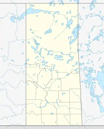
| Country | |
| Province | |
| Region | Southwest Saskatchewan |
| Census division | 7 |
| Rural Municipality | Coulee |
| Government | |
| • Reeve | Greg Targerson |
| • Administrator | Ken Hollinger |
| • Governing body | Coulee No. 136 |
| Population (2006) | |
| • Total | 0 |
| Time zone | CST |
| Postal code | S9H 1K8 |
| Area code | 306 |
| Highways | Highway 379 |
| [1][2][3][4] | |
Rosenort is a hamlet in Coulee Rural Municipality No. 136, Saskatchewan, Canada. The hamlet is located on Range Rd. 123 5 km north of Highway 379, about 25 km south of Swift Current.
Demographics
In 2006, Rosenort had a population of 0 living in 0 dwellings, a 60% decrease from 2001. The hamlet had a land area of 0.00 km2 (0 sq mi) and a population density of 0/km2 (0/sq mi).
See also
References
- ↑ National Archives, Archivia Net, Post Offices and Postmasters
- ↑ Government of Saskatchewan, MRD Home, Municipal Directory System, archived from the original on November 21, 2008
- ↑ Canadian Textiles Institute. (2005), CTI Determine your provincial constituency, archived from the original on September 11, 2007
- ↑ Commissioner of Canada Elections, Chief Electoral Officer of Canada (2005), Elections Canada On-line
Places adjacent to Rosenort, Saskatchewan | ||||||||||||||||
|---|---|---|---|---|---|---|---|---|---|---|---|---|---|---|---|---|
| ||||||||||||||||

50°08′00″N 107°35′02″W / 50.13333°N 107.58389°W
This article is issued from Wikipedia. The text is licensed under Creative Commons - Attribution - Sharealike. Additional terms may apply for the media files.