Potheri | |
|---|---|
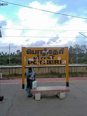 Name board of Potheri railway station | |
| General information | |
| Location | National Highway 32, Potheri, Chengalpattu district, Tamil Nadu, India |
| Coordinates | 12°49′18″N 80°2′14″E / 12.82167°N 80.03722°E |
| Elevation | 45 metres (148 ft) |
| Owned by | Ministry of Railways, Indian Railways |
| Line(s) | South and South West lines of Chennai Suburban Railway |
| Platforms | 3 |
| Tracks | 3 |
| Construction | |
| Structure type | Standard on-ground station |
| Parking | Not Available |
| Other information | |
| Station code | POTI |
| Fare zone | Southern Railways |
| History | |
| Electrified | 9 January 1965[1] |
| Previous names | South Indian Railway |
| Location | |
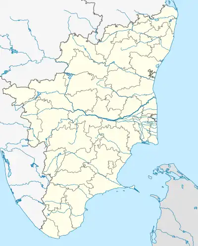 Potheri Location in Tamil Nadu 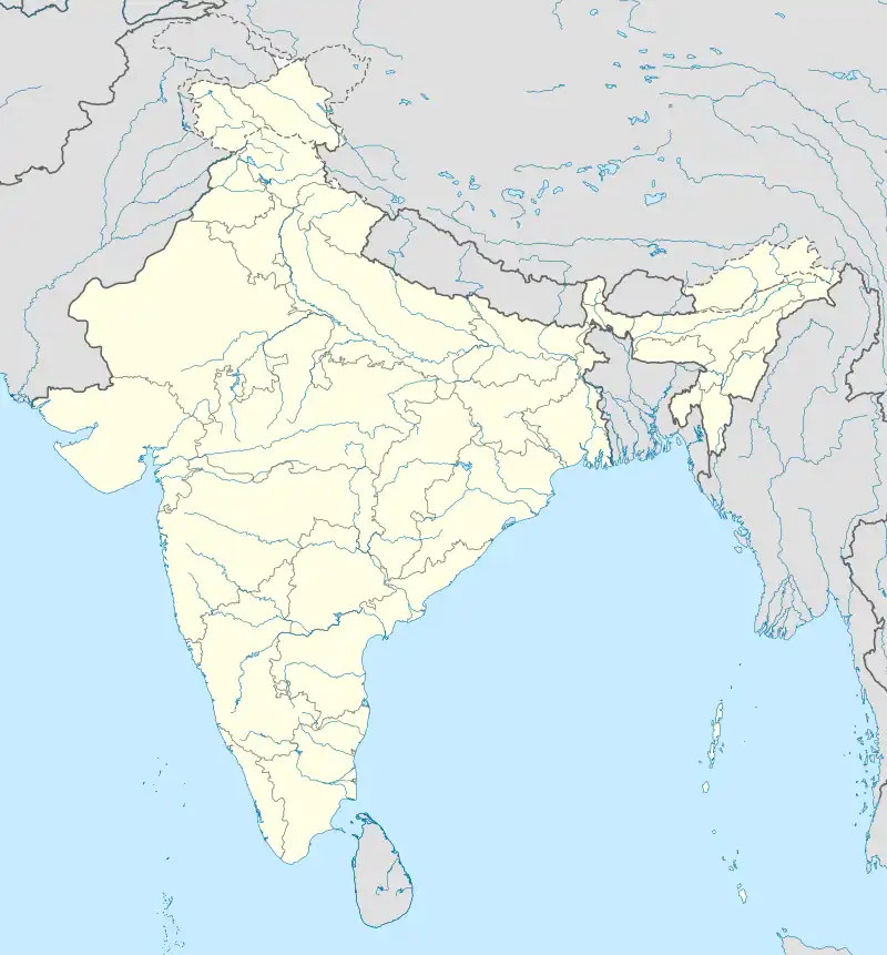 Potheri Location in India | |
Potheri railway station is one of the railway stations of the Chennai Beach–Chengalpattu section of the Chennai Suburban Railway Network. It serves the neighbourhood of Potheri, a suburb of Chennai. It is situated at a distance of 43 km (27 mi) from Chennai Beach junction and is located on NH 45 in Potheri, with an elevation of 45 m (148 ft) above sea level. The station also serves the Livestock Research Station, Kattupakkam and SRM Institute of Science and Technology.
History
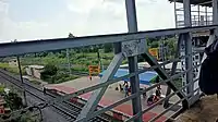
Potheri railway station top view from walkbridge
The lines at the station were electrified on 9 January 1965, with the electrification of the Tambaram—Chengalpattu section.[1]
See also
References
- 1 2 "IR Electrification Chronology up to 31.03.2004". History of Electrification. IRFCA.org. Retrieved 17 November 2012.
External links
This article is issued from Wikipedia. The text is licensed under Creative Commons - Attribution - Sharealike. Additional terms may apply for the media files.