| Main page | Maps |
The Maps Portal
A map is a visual representation of an area—a symbolic depiction highlighting relationships between elements of that space such as objects, regions, and themes. Many maps are static two-dimensional, geometrically accurate representations of three-dimensional space, while others are dynamic or interactive, even three-dimensional. Although most commonly used to depict geography, maps may represent any space, real or imagined, without regard to context or scale.
A world map is a map of the surface of the Earth, which may be made using any of a number of different map projections. Maps of the world are often either 'political' or 'physical'. The most important purpose of the political map is to show territorial borders; the purpose of the physical is to show features of geography such as mountains, soil type or land use. Geological maps show not only the physical surface, but characteristics of the underlying rock, fault lines, and subsurface structures. Topographical maps show constant values such as elevation, temperature or rainfall often represented in the form of contour lines. A nautical chart is a graphic representation of a maritime area and adjacent coastal regions. A thematic map displays the spatial pattern of a theme or series of attributes, such as population density, health issues, language or climate. Star cartography is the branch of astronomy concerned with mapping the stars, galaxies, and a multitude of other celestial bodies.
World map
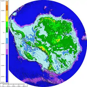
Geographic map
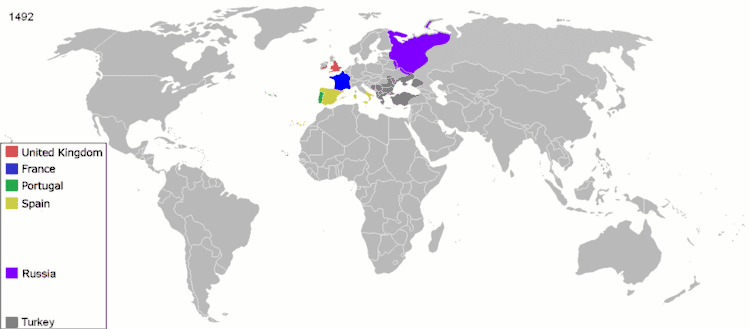
Political map
Thematic map
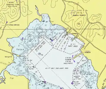
Nautical map
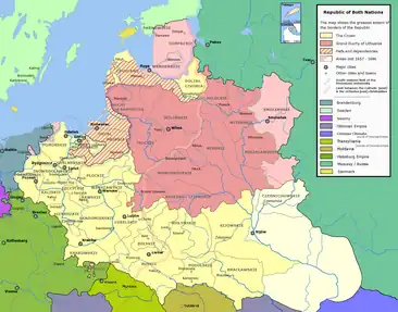
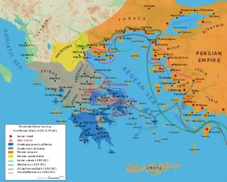
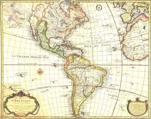
Historical map
Associated Wikimedia
The following Wikimedia Foundation sister projects provide more on this subject:
-
 Commons
Free media repository -
 Wikibooks
Free textbooks and manuals -
 Wikidata
Free knowledge base -
 Wikinews
Free-content news -
 Wikiquote
Collection of quotations -
 Wikisource
Free-content library -
 Wikiversity
Free learning tools -
 Wikivoyage
Free travel guide -
 Wiktionary
Dictionary and thesaurus