Pogogul Airport Bandar Udara Pogogul | |||||||||||
|---|---|---|---|---|---|---|---|---|---|---|---|
| Summary | |||||||||||
| Airport type | Public | ||||||||||
| Serves | Buol Regency, Central Sulawesi, Sulawesi Island, Indonesia | ||||||||||
| Time zone | WITA (UTC+08:00) | ||||||||||
| Elevation AMSL | 15 m / 49 ft | ||||||||||
| Coordinates | 01°06′03″N 121°24′58″E / 1.10083°N 121.41611°E[1] | ||||||||||
| Map | |||||||||||
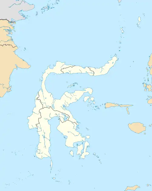 UOL Location of the airport in Sulawesi | |||||||||||
| Runways | |||||||||||
| |||||||||||
Pogogul Airport (Indonesian: Bandar Udara Pogogul) (IATA: UOL, ICAO: WAFY) is an airport near Buol, a city in the province of Central Sulawesi on the island of Sulawesi in Indonesia.
Facilities
The airport resides at an elevation of 15 metres (49 ft) above mean sea level. It has one runway designated 06/24 with a compacted coral and sand surface measuring 1,500 by 30 metres (4,921 ft × 98 ft).
Airlines and destinations
| Airlines | Destinations |
|---|---|
| Aviastar | Gorontalo, Palu |
| Wings Air | Palu |
References
This article is issued from Wikipedia. The text is licensed under Creative Commons - Attribution - Sharealike. Additional terms may apply for the media files.