| Piz Denter | |
|---|---|
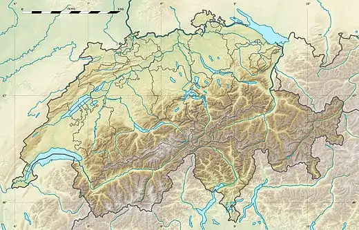 Piz Denter Location in Switzerland | |
| Highest point | |
| Elevation | 2,956 m (9,698 ft) |
| Prominence | 67 m (220 ft)[1] |
| Parent peak | Piz Blas |
| Coordinates | 46°34′26″N 8°43′23″E / 46.57389°N 8.72306°E |
| Geography | |
| Location | Graubünden/Ticino, Switzerland |
| Parent range | Lepontine Alps |
Piz Denter is a mountain of the Lepontine Alps, located on the border between the Swiss cantons of Graubünden and Ticino. On its northern side (Graubünden), it overlooks the valleys of Lake Curnera and Lake Nalps, both drained by tributaries of the Rhine.
References
External links
This article is issued from Wikipedia. The text is licensed under Creative Commons - Attribution - Sharealike. Additional terms may apply for the media files.