Parker Dam, California | |
|---|---|
 Parker Dam, California | |
| Coordinates: 34°17′14″N 114°08′35″W / 34.28722°N 114.14306°W | |
| Country | United States |
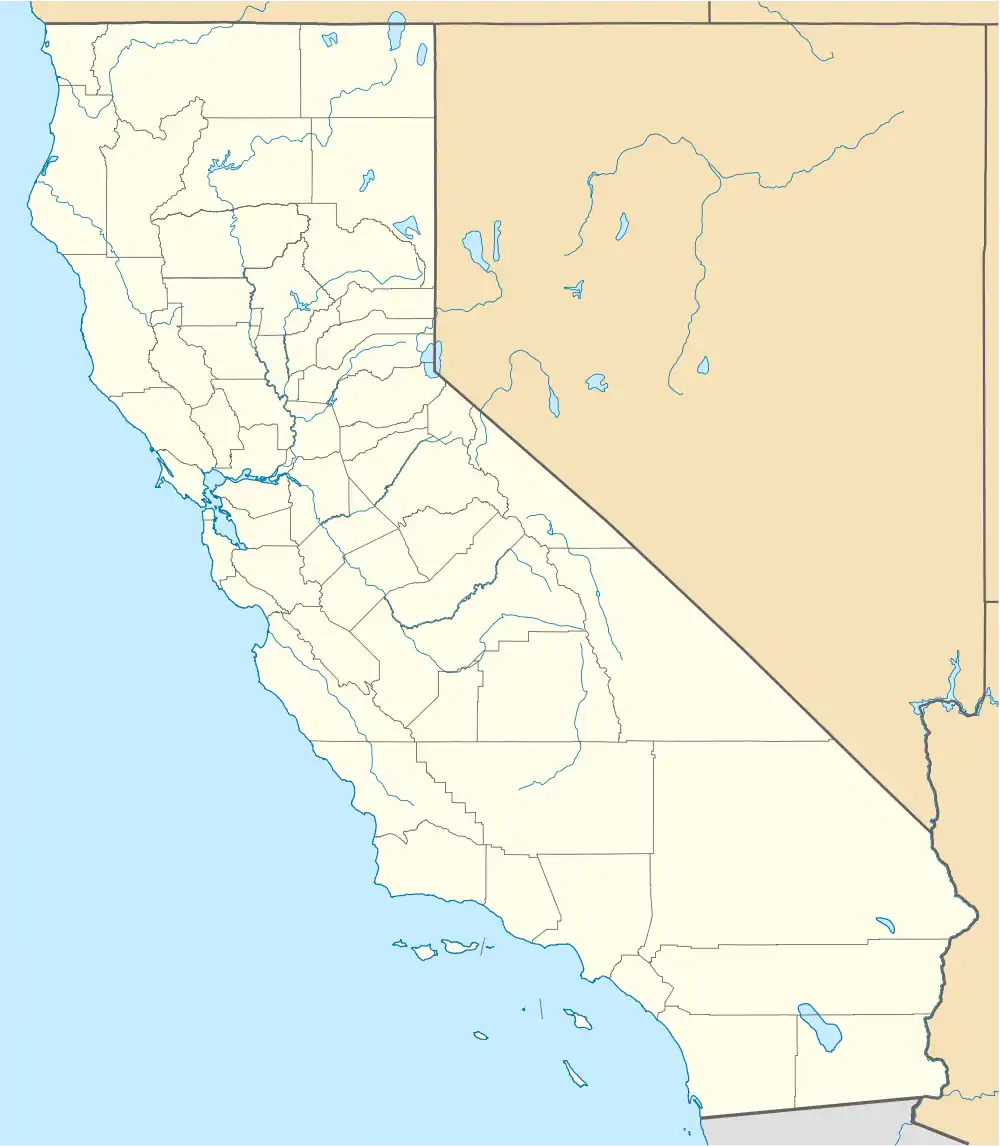
| State | California |
| County | San Bernardino |
| Elevation | 397 ft (121 m) |
| Time zone | UTC-8 (Pacific (PST)) |
| • Summer (DST) | UTC-7 (PDT) |
| ZIP code | 92267 |
| Area codes | 442/760 |
| GNIS feature ID | 1656594[1] |
Parker Dam is an unincorporated community in San Bernardino County, California, United States. Parker Dam is located along the Colorado River across from Arizona 24 miles (39 km) east-northeast of Vidal. It is named after Parker Dam, which impounds the Colorado River nearby. Parker Dam has a post office with ZIP code 92267.[2] The post office opened in 1935 and closed briefly between 1939 and 1940.[3]
References
- ↑ U.S. Geological Survey Geographic Names Information System: Parker Dam, California
- ↑ ZIP Code Lookup
- ↑ Durham, David L. (1998). California's Geographic Names: A Gazetteer of Historic and Modern Names of the State. Quill Driver Books. p. 1453. ISBN 1-884995-14-4.

This article is issued from Wikipedia. The text is licensed under Creative Commons - Attribution - Sharealike. Additional terms may apply for the media files.