Oma
О́ма | |
|---|---|
Location of Oma | |
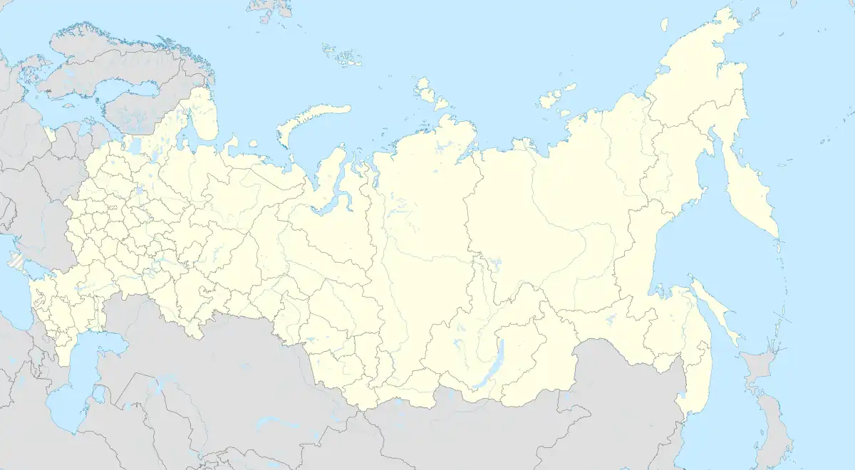 Oma Location of Oma 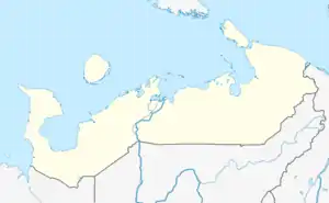 Oma Oma (Nenets Autonomous Okrug) | |
| Coordinates: 66°38′34″N 46°29′33″E / 66.64278°N 46.49250°E | |
| Country | Russia |
| Federal subject | Nenets Autonomous Okrug |
| Founded | 1858 |
| Population | |
| • Total | 763 |
| Time zone | UTC+3 (MSK |
| Postal code(s)[3] | 166735 |
| Dialing code(s) | +7 81857 |
| OKTMO ID | 11811457101 |
Oma (Russian: О́ма) is a settlement in Zapolyarny District, Nenets Autonomous Okrug, Russia. It had a population of 763 in 2010, a decrease from its population of 795 in 2002.
Geography
Oma is located about 305 km southwest of Naryan-Mar, on the eponymous River Oma.
Transport
From Oma, there is a flight to Naryan-Mar.
Climate
Oma has a subarctic climate (Dfc).[4]
References
- ↑ Russian Federal State Statistics Service (2011). Всероссийская перепись населения 2010 года. Том 1 [2010 All-Russian Population Census, vol. 1]. Всероссийская перепись населения 2010 года [2010 All-Russia Population Census] (in Russian). Federal State Statistics Service.
- ↑ "Об исчислении времени". Официальный интернет-портал правовой информации (in Russian). 3 June 2011. Retrieved 19 January 2019.
- ↑ Почта России. Информационно-вычислительный центр ОАСУ РПО. (Russian Post). Поиск объектов почтовой связи (Postal Objects Search) (in Russian)
- ↑ "Oma, Zapolyarny, Nenets, Russia - City, Town and Village of the world".
This article is issued from Wikipedia. The text is licensed under Creative Commons - Attribution - Sharealike. Additional terms may apply for the media files.