Oberlauringen | |
|---|---|
Location of Oberlauringen | |
 Oberlauringen  Oberlauringen | |
| Coordinates: 50°12′58″N 10°22′44″E / 50.21611°N 10.37889°E | |
| Country | Germany |
| State | Bavaria |
| Admin. region | Lower Franconia |
| District | Schweinfurt |
| Municipality | Stadtlauringen |
| Elevation | 325 m (1,066 ft) |
| Time zone | UTC+01:00 (CET) |
| • Summer (DST) | UTC+02:00 (CEST) |
| Postal codes | 97488 |
| Dialling codes | 09724 |
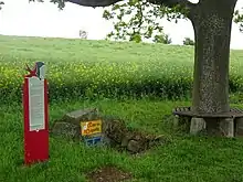
Die Lauerquelle, genannt das "Storchenbrünnle"
Oberlauringen, with 680 inhabitants is part of the municipality Stadtlauringen in the district of Schweinfurt in Lower Franconia, Bavaria, Germany.
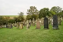
Jüdischer Friedhof
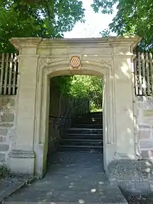
Rückertpforte
History
On May 1, 1978, the previously independent municipality was incorporated into the Stadtlauringen market.[1]
References
This article is issued from Wikipedia. The text is licensed under Creative Commons - Attribution - Sharealike. Additional terms may apply for the media files.