| Zwegabin (Burmese), Kwekabaw (Karen) | |
|---|---|
| ဇွဲကပင်တောင်, ကွဲၢ်ကဘီ | |
 A buddha statue garden is located near the starting point of the stairs to the top of the mountain. Buildings in the top of the mountain belong to Mount Zwegabin monastery. | |
| Highest point | |
| Elevation | 722 m (2,369 ft) |
| Coordinates | 16°49′31″N 97°40′08″E / 16.8254°N 97.6690°E |
| Geography | |
 Zwegabin (Burmese),
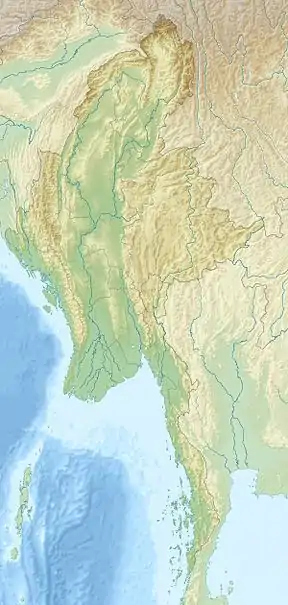
Kwekabaw (Karen) Location in Myanmar | |
| Location | Kayin State, Myanmar |
| Parent range | Tenasserim Hills |
Mount Zwegabin (Kwekabaw) (Phlone: ခွဲါက္ၜင်; Burmese: ဇွဲကပင်တောင်; S'gaw Karen: ကွဲၢ်ကဘီကစၢၢ်) is a mountain in Myanmar. It is located in Kayin State, in the southern part of the country, around 450 km south of the capital Naypyidaw.[1] The top of Zwegabin is 722 metres (2,369 ft) above sea level.
The terrain around Mount Zwegabin is flat to the north-west, but hilly to the south-east. Calculated from the variance of all elevation data (DEM 3 ") from Viewfinder Panoramas, within 10 kilometers radius.[2] Mount Zwegabin is the highest point in the region. The area around Mount Zwegabin, is quite densely populated, with 155 inhabitants per square kilometer. The closest major city is Hpa-an, 8.2 km northwest of Mount Zwegabin. The surroundings around the mountains are a mosaic of agricultural land and natural vegetation.
See also
References
- ↑ "GeoNames.org". www.geonames.org. Retrieved 14 October 2017.
- ↑ "Digital Elevation Data – with SRTM voids filled using accurate topographic mapping". www.viewfinderpanoramas.org. Retrieved 14 October 2017.
External links
- "Viewfinder Panoramas Digital elevation Model" (2015-6-21).
- "Zwekabin Taung" said"Geonames.org (cc-by)" Geonames.org]; mail updated 2016-06-01; database download downloaded 2016-10-22
- "NASA Earth Observations: Population Density NASA/SEDAO
- "NASA Earth Observations: Land Cover Classification" NASA/MODES
- Peel, M C; Finlayson, B L."Updated world map of the Köppen-Geiger climate classification " Hydrology and Earth System Sciences 11: p. 1633–1644.
- "NASA Earth Observations Data set Index NASA
- "NASA Earth Observations: Rainfall (1 month-TRMM) NASA/Tropical Rainfall Monitoring Mission