| Monte Elto | |
|---|---|
.jpg.webp) | |
| Highest point | |
| Elevation | 2,145 m (7,037 ft) |
| Coordinates | 46°03′21.41″N 10°17′55.49″E / 46.0559472°N 10.2987472°E |
| Geography | |
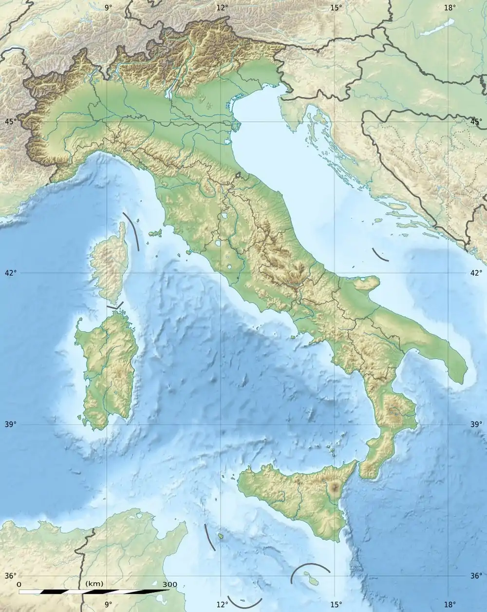 Monte Elto Italy | |
| Location | Lombardy, Italy |
| Parent range | Bergamo Alps |
Monte Elto is a mountain in Lombardy, Italy. It is located within the Bergamo Alps.
Toponym
According to some interpretations, the name Elto derives from the Venetian term Elt which means high.[1]
Geography
Mount Elto is located on the western side of Val Camonica, north of the Concarena and in front of mount Adamello.[2] Its territory belongs to the municipalities of Sellero and Capo di Ponte.
The southern side is lapped by the Clegna stream, the northern one by the Allione stream. The Re di Sellero stream flows on the eastern side. All these waterways are tributaries of the Oglio.
.jpg.webp)
.jpg.webp)
.jpg.webp)
References
- ↑ "Valle Camonica: i Paesi - Sellero". 2008-02-04. Archived from the original on 2008-02-04. Retrieved 2021-08-25.
- ↑ "SCHEDA". www.domeniconodari.it. Retrieved 2021-08-25.
This article is issued from Wikipedia. The text is licensed under Creative Commons - Attribution - Sharealike. Additional terms may apply for the media files.