Molenhoek | |
|---|---|
Hamlet | |
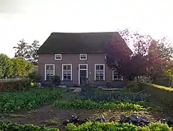 Farm in Molenhoek | |
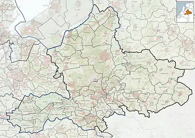 Molenhoek Location in the Netherlands 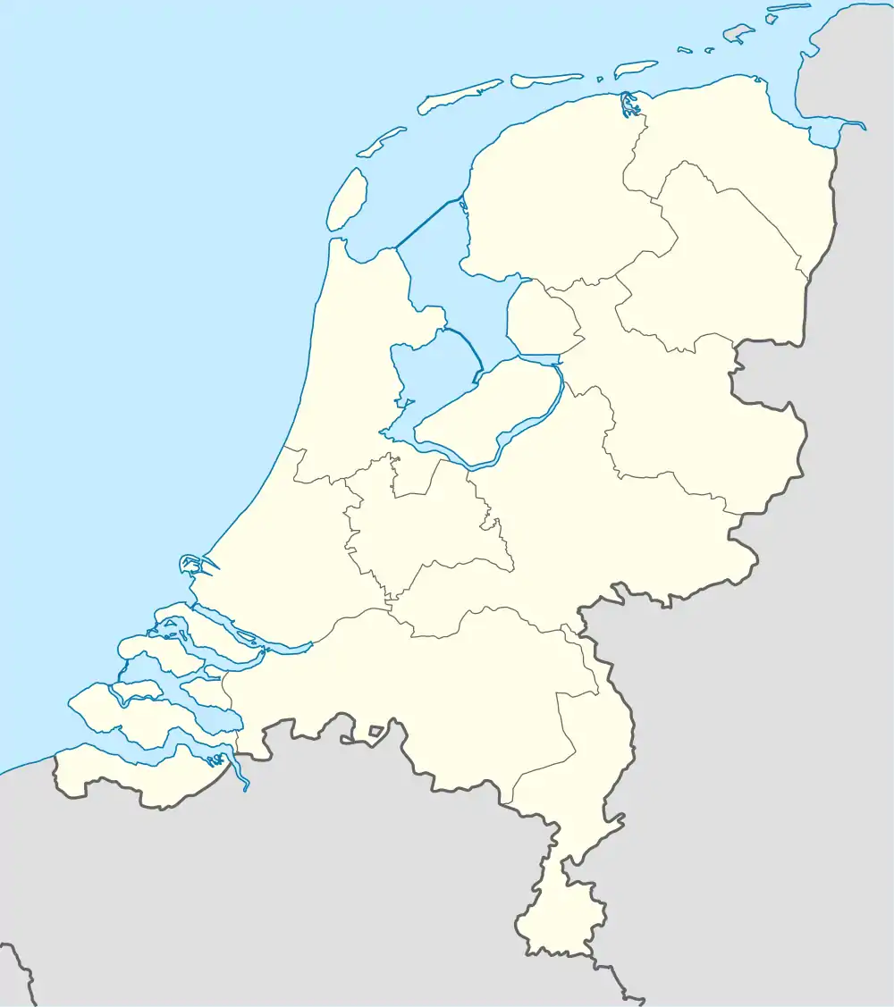 Molenhoek Molenhoek (Netherlands) | |
| Coordinates: 51°51′55″N 5°36′56″E / 51.86528°N 5.61556°E | |
| Country | Netherlands |
| Province | Gelderland |
| Municipality | Druten |
| Area | |
| • Total | 0.42 km2 (0.16 sq mi) |
| Elevation | 8 m (26 ft) |
| Population (2021)[1] | |
| • Total | 130 |
| • Density | 310/km2 (800/sq mi) |
| Time zone | UTC+1 (CET) |
| • Summer (DST) | UTC+2 (CEST) |
| Postal code | 6631[1] |
| Dialing code | 0487 |
Molenhoek is a hamlet in the Dutch province of Gelderland. It is a part of the municipality of Druten, and lies about 11 km northwest of Wijchen.[3][4]
It was first mentioned in 1899 as Molenhoek, and means "wind mill corner" after a wind mill which was demolished in 1922.[5] The postal authorities have placed Molenboek under Horssen[6]
References
- 1 2 3 "Kerncijfers wijken en buurten 2021". Central Bureau of Statistics. Retrieved 21 March 2022.
- ↑ "Postcodetool for 6631AB". Actueel Hoogtebestand Nederland (in Dutch). Het Waterschapshuis. Retrieved 21 March 2022.
- ↑ "Molenhoek (Horssen)". Plaatsengids (in Dutch). Retrieved 21 March 2022.
- ↑ "Distance Molenhoek, NLD → Wijchen, NLD". Distance.to. Retrieved 21 March 2022.
- ↑ "Molenhoek - (geografische naam)". Etymologiebank (in Dutch). Retrieved 21 March 2022.
- ↑ "Postcode 6631 in Horssen". Postcode bij adres (in Dutch). Retrieved 21 March 2022.
Wikimedia Commons has media related to Molenhoek (Druten).
This article is issued from Wikipedia. The text is licensed under Creative Commons - Attribution - Sharealike. Additional terms may apply for the media files.