| McDonald Run Tributary to Slippery Rock Creek | |
|---|---|
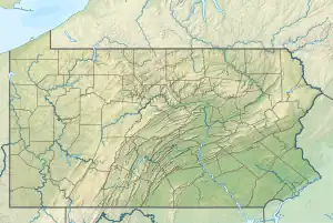 Location of McDonald Run mouth 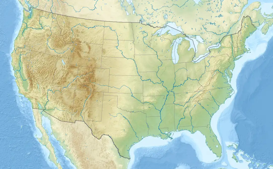 McDonald Run (Slippery Rock Creek tributary) (the United States) | |
| Location | |
| Country | United States |
| State | Pennsylvania |
| County | Butler |
| Physical characteristics | |
| Source | divide between McDonald Run and McMurray Run |
| • location | Forestville, Pennsylvania[1] |
| • coordinates | 41°06′29″N 080°00′40″W / 41.10806°N 80.01111°W[2] |
| • elevation | 1,330 ft (410 m)[1] |
| Mouth | Slippery Rock Creek |
• location | about 1 mile south of Branchton, Pennsylvania[1] |
• coordinates | 41°03′39″N 079°59′16″W / 41.06083°N 79.98778°W[2] |
• elevation | 1,160 ft (350 m)[1] |
| Length | 3.07 mi (4.94 km)[3] |
| Basin size | 4.02 square miles (10.4 km2)[4] |
| Discharge | |
| • location | Slippery Rock Creek |
| • average | 6.07 cu ft/s (0.172 m3/s) at mouth with Slippery Rock Creek[4] |
| Basin features | |
| Progression | Slippery Rock Creek → Connoquenessing Creek → Beaver River → Ohio River → Mississippi River → Gulf of Mexico |
| River system | Beaver River |
| Tributaries | |
| • left | unnamed tributaries |
| • right | unnamed tributaries |
McDonald Run is a 3.07 mi (4.94 km) long tributary to Slippery Rock Creek that rises near Forestville in Butler County, Pennsylvania and flows south to meet Slippery Rock Creek near Branchton.
See also
References
- 1 2 3 4 "Slippery Rock Creek Topo Map, Lawrence County PA (Beaver Falls Area)". TopoZone. Locality, LLC. Retrieved 23 August 2019.
- 1 2 "GNIS Detail - McDonald Run". geonames.usgs.gov. US Geological Survey. Retrieved 23 August 2019.
- ↑ "ArcGIS Web Application". epa.maps.arcgis.com. US EPA. Retrieved 23 August 2019.
- 1 2 "McDonald Run Watershed Report". Waters Geoviewer. US EPA. Retrieved 23 August 2019.
This article is issued from Wikipedia. The text is licensed under Creative Commons - Attribution - Sharealike. Additional terms may apply for the media files.