Malá Morávka | |
|---|---|
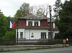 Municipal office | |
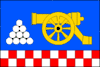 Flag 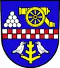 Coat of arms | |
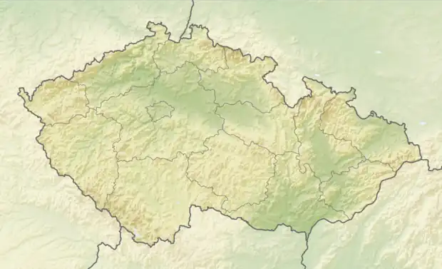 Malá Morávka Location in the Czech Republic | |
| Coordinates: 50°1′16″N 17°18′43″E / 50.02111°N 17.31194°E | |
| Country | |
| Region | Moravian-Silesian |
| District | Bruntál |
| First mentioned | 1594 |
| Area | |
| • Total | 61.56 km2 (23.77 sq mi) |
| Elevation | 660 m (2,170 ft) |
| Population (2023-01-01)[1] | |
| • Total | 668 |
| • Density | 11/km2 (28/sq mi) |
| Time zone | UTC+1 (CET) |
| • Summer (DST) | UTC+2 (CEST) |
| Postal code | 793 36 |
| Website | www |
Malá Morávka (German: Klein Mohrau) is a municipality and village in Bruntál District in the Moravian-Silesian Region of the Czech Republic. It has about 700 inhabitants.
Administrative parts
The village of Karlov pod Pradědem is an administrative part of Malá Morávka.
Geography
Malá Morávka is located in the Hrubý Jeseník mountain range. The peaks of the three highest mountains of Hrubý Jeseník, including Praděd, lie in the northwestern part of the municipal territory. The Moravice river and the Bělokamenný Stream flows though the territory and join in the village.
References
Wikimedia Commons has media related to Malá Morávka.
This article is issued from Wikipedia. The text is licensed under Creative Commons - Attribution - Sharealike. Additional terms may apply for the media files.