Lusadzor / Mehdibayli
Լուսաձոր / Mehdibəyli | |
|---|---|
 Lusadzor / Mehdibayli | |
| Coordinates: 39°53′35″N 46°43′52″E / 39.89306°N 46.73111°E | |
| Country | |
| • District | Khojaly |
| Elevation | 823 m (2,700 ft) |
| Population (2015)[1] | |
| • Total | 177 |
| Time zone | UTC+4 (AZT) |
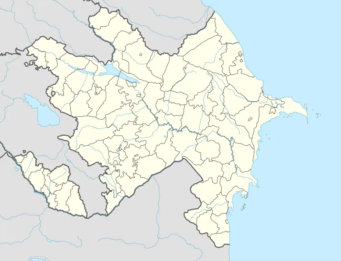
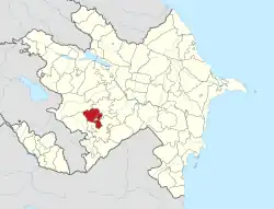
Lusadzor (Armenian: Լուսաձոր) or Mehdibayli (Azerbaijani: Mehdibəyli) is a village located in the Khojaly District of Azerbaijan, in the disputed region of Nagorno-Karabakh.
Toponymy
The village was known as Mekhdishen (Russian: Мехдишен) during the Soviet period.[2]
History
During the Soviet period, the village was part of the Askeran District of the Nagorno-Karabakh Autonomous Oblast.
Historical heritage sites
Historical heritage sites in and around the village include a settlement, chapel-shrine and tombs from the 2nd–1st millennia BCE, as well as the 19th-century church of Surb Astvatsatsin (Armenian: Սուրբ Աստվածածին, lit. 'Holy Mother of God').[1]
Economy and culture
The population is mainly engaged in agriculture and animal husbandry. As of 2015, the village has a municipal building, a house of culture, a school, and a medical centre.[1]
Demographics
The village has an ethnic Armenian-majority population, had 177 inhabitants in 2005,[3] and 177 inhabitants in 2015.[1]
References
- 1 2 3 4 Hakob Ghahramanyan. "Directory of socio-economic characteristics of NKR administrative-territorial units (2015)".
- ↑ Landmine Mapper. "Azerbaijan (& Nagorno Karabakh) Topographic Map 1:200,000 Russian Soviet Military". GigaPan.
- ↑ "The Results of the 2005 Census of the Nagorno-Karabakh Republic" (PDF). National Statistic Service of the Republic of Artsakh.
External links

