| Leiblach | |
|---|---|
 | |
| Location | |
| Countries | Germany and Austria |
| States | Bavaria and Voralberg |
| Physical characteristics | |
| Source | |
| • coordinates | 47°38′9″N 9°55′13″E / 47.63583°N 9.92028°E |
| • elevation | 692 m (2,270 ft) |
| Mouth | |
• location | Lake Constance |
• coordinates | 47°32′0″N 9°43′41″E / 47.53333°N 9.72806°E |
• elevation | 395 m (1,296 ft) |
| Length | 34.2 km (21.3 mi) [1] |
| Basin size | 112 km2 (43 sq mi) [1] |
| Basin features | |
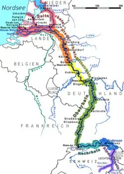
| Progression | Rhine→ North Sea |
The Leiblach is a 34-kilometre-long (21 mi) tributary of Lake Constance and the Rhine.
The Leiblach source is near the German municipality of Heimenkirch, flowing to the southwest. Near the Austrian town of Hohenweiler, the river joins a small tributary, the Rickenbach. This tributary forms a part of the Austrian-German border, and below the confluence the border continues to follow the Leiblach until it eventually empties into Lake Constance between the German town of Lindau and the Austrian town of Lochau.
See also
References
- 1 2 Complete table of the Bavarian Waterbody Register by the Bavarian State Office for the Environment (xls, 10.3 MB)
This article is issued from Wikipedia. The text is licensed under Creative Commons - Attribution - Sharealike. Additional terms may apply for the media files.