Le Tâtre | |
|---|---|
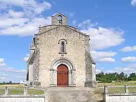 The church in Le Tâtre | |
Location of Le Tâtre | |
 Le Tâtre 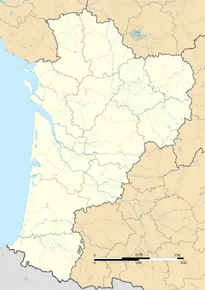 Le Tâtre | |
| Coordinates: 45°23′46″N 0°12′16″W / 45.3961°N 0.2044°W | |
| Country | France |
| Region | Nouvelle-Aquitaine |
| Department | Charente |
| Arrondissement | Cognac |
| Canton | Charente-Sud |
| Government | |
| • Mayor (2020–2026) | Bernard Desse[1] |
| Area 1 | 6.13 km2 (2.37 sq mi) |
| Population | 423 |
| • Density | 69/km2 (180/sq mi) |
| Time zone | UTC+01:00 (CET) |
| • Summer (DST) | UTC+02:00 (CEST) |
| INSEE/Postal code | 16380 /16360 |
| Elevation | 73–143 m (240–469 ft) (avg. 146 m or 479 ft) |
| 1 French Land Register data, which excludes lakes, ponds, glaciers > 1 km2 (0.386 sq mi or 247 acres) and river estuaries. | |
Le Tâtre (French pronunciation: [lə tatʁ]) is a commune in the Charente department in southwestern France.
Population
| Year | Pop. | ±% p.a. |
|---|---|---|
| 1968 | 301 | — |
| 1975 | 313 | +0.56% |
| 1982 | 290 | −1.08% |
| 1990 | 329 | +1.59% |
| 1999 | 314 | −0.52% |
| 2009 | 347 | +1.00% |
| 2014 | 391 | +2.42% |
| 2020 | 417 | +1.08% |
| Source: INSEE[3] | ||
See also
References
- ↑ "Répertoire national des élus: les maires". data.gouv.fr, Plateforme ouverte des données publiques françaises (in French). 2 December 2020.
- ↑ "Populations légales 2021". The National Institute of Statistics and Economic Studies. 28 December 2023.
- ↑ Population en historique depuis 1968, INSEE
Wikimedia Commons has media related to Le Tâtre.
This article is issued from Wikipedia. The text is licensed under Creative Commons - Attribution - Sharealike. Additional terms may apply for the media files.