Lappans, Maryland | |
|---|---|
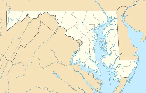 | |
| Coordinates: 39°33′13″N 77°44′14″W / 39.55361°N 77.73722°W | |
| Country | United States |
| State | Maryland |
| County | Washington |
| Elevation | 459 ft (140 m) |
| Time zone | UTC-5 (Eastern (EST)) |
| • Summer (DST) | UTC-4 (EDT) |
| Area code(s) | 301 & 240 |
| GNIS feature ID | 590637[1] |
Lappans is an unincorporated community in Washington County, Maryland, United States. Lappans is located at the junction of Maryland routes 65 and 68, 6.2 miles (10.0 km) south of Hagerstown.[2] It is the location of St. Mark's Episcopal Church.
References
- ↑ "Lappans". Geographic Names Information System. United States Geological Survey, United States Department of the Interior.
- ↑ Maryland General Highway Statewide Grid Map: Williamsport Map No. B-8A (PDF) (Map). Maryland Department of Transportation. 2012. Archived from the original (PDF) on February 17, 2011. Retrieved March 7, 2013.
Wikimedia Commons has media related to Lappans, Maryland.

This article is issued from Wikipedia. The text is licensed under Creative Commons - Attribution - Sharealike. Additional terms may apply for the media files.