| Langtree New South Wales | |
|---|---|
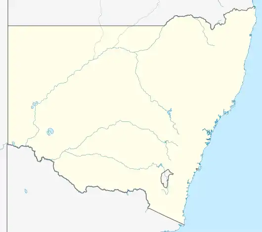 Langtree Location in New South Wales | |
| Coordinates | 33°39′40″S 145°33′56″E / 33.66111°S 145.56556°E |
| Postcode(s) | 2652 |
| Location | |
| LGA(s) | Carrathool Shire Council |
| County | Nicholson |
| State electorate(s) | Murray |
| Federal division(s) | Riverina |
Langtree is a rural locality and the site of a discontinued railway station in the central northern part of the Riverina.[1] The railway station was about 8 kilometres north of Goorawin and 22 kilometres south of Hillston.
References
- ↑ "Langtree Railway Station". Geographical Names Register (GNR) of NSW. Geographical Names Board of New South Wales. Retrieved 4 August 2013.
Wikimedia Commons has media related to Langtree, New South Wales.
This article is issued from Wikipedia. The text is licensed under Creative Commons - Attribution - Sharealike. Additional terms may apply for the media files.