Lafayette Municipal Airport | |||||||||||
|---|---|---|---|---|---|---|---|---|---|---|---|
| Summary | |||||||||||
| Airport type | Public | ||||||||||
| Owner | City of Lafayette | ||||||||||
| Serves | Lafayette, Tennessee | ||||||||||
| Elevation AMSL | 969 ft / 295 m | ||||||||||
| Coordinates | 36°31′12″N 086°03′29″W / 36.52000°N 86.05806°W | ||||||||||
| Map | |||||||||||
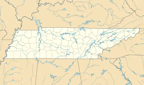 3M7 Location of airport in Tennessee  3M7 3M7 (the United States) | |||||||||||
| Runways | |||||||||||
| |||||||||||
| Statistics (2018) | |||||||||||
| |||||||||||
Source: [1] | |||||||||||
Lafayette Municipal Airport (FAA LID: 3M7) is a city-owned, public-use airport located two nautical miles (3 km) west of the central business district of Lafayette, in Macon County, Tennessee, United States.[1]
Facilities
Lafayette Municipal Airport covers an area of 111 acres (45 ha) at an elevation of 969 feet (295m) above mean sea level. It has one runway designated 01/19 with an asphalt surface measuring 5,200 by 75 feet (1,585 x 23 m).[1][2]
See also
References
- ↑ "Lafayette Muni". Airport IQ. Archived from the original on Aug 7, 2016. Retrieved 14 July 2019.
External links
This article is issued from Wikipedia. The text is licensed under Creative Commons - Attribution - Sharealike. Additional terms may apply for the media files.