La Rue-Saint-Pierre | |
|---|---|
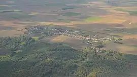 An aerial view of La-Rue-Saint-Pierre | |
Location of La Rue-Saint-Pierre | |
 La Rue-Saint-Pierre 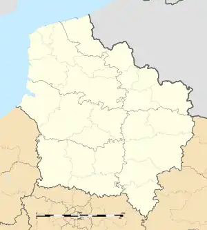 La Rue-Saint-Pierre | |
| Coordinates: 49°24′36″N 2°17′48″E / 49.41°N 2.2967°E | |
| Country | France |
| Region | Hauts-de-France |
| Department | Oise |
| Arrondissement | Clermont |
| Canton | Mouy |
| Intercommunality | CA Beauvaisis |
| Government | |
| • Mayor (2020–2026) | Patrick Signoirt[1] |
| Area 1 | 8.68 km2 (3.35 sq mi) |
| Population | 846 |
| • Density | 97/km2 (250/sq mi) |
| Time zone | UTC+01:00 (CET) |
| • Summer (DST) | UTC+02:00 (CEST) |
| INSEE/Postal code | 60559 /60510 |
| Elevation | 49–96 m (161–315 ft) (avg. 63 m or 207 ft) |
| 1 French Land Register data, which excludes lakes, ponds, glaciers > 1 km2 (0.386 sq mi or 247 acres) and river estuaries. | |
La Rue-Saint-Pierre (French pronunciation: [la ʁy sɛ̃ pjɛʁ]) is a commune in the Oise department in northern France.
See also
References
- ↑ "Répertoire national des élus: les maires" (in French). data.gouv.fr, Plateforme ouverte des données publiques françaises. 13 September 2022.
- ↑ "Populations légales 2021". The National Institute of Statistics and Economic Studies. 28 December 2023.
Wikimedia Commons has media related to La Rue-Saint-Pierre (Oise).
This article is issued from Wikipedia. The text is licensed under Creative Commons - Attribution - Sharealike. Additional terms may apply for the media files.