Kalabo Airport | |||||||||||
|---|---|---|---|---|---|---|---|---|---|---|---|
| Summary | |||||||||||
| Airport type | Public | ||||||||||
| Serves | Kalabo, Zambia | ||||||||||
| Elevation AMSL | 3,451 ft / 1,052 m | ||||||||||
| Coordinates | 14°59′55″S 22°38′50″E / 14.99861°S 22.64722°E | ||||||||||
| Map | |||||||||||
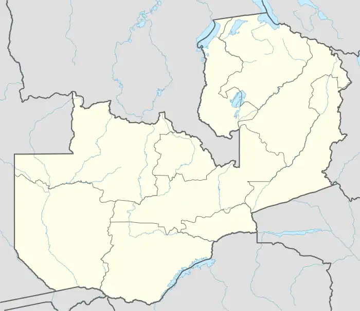 KLB Location of the airport in Zambia | |||||||||||
| Runways | |||||||||||
| |||||||||||
Kalabo Airport (IATA: KLB, ICAO: FLKL) is an airport serving the town of Kalabo, in Kalabo District and surrounding communities in the Western Province of Zambia.[1]
Location
The airport is 4 kilometres (2 mi) west of the town.[2] This is approximately 603.5 kilometres (375 mi), by air, north-west of Lusaka International Airport, the largest civilian airport in the county.[3] The geographical coordinates of Kalabo Airport are: 14°59'55.0"S, 22°38'50.0"E (Latitude:-14.998611; Longitude:22.647222).[4] Te airport sits at an average elevation of 1,052 metres (3,451 ft) above mean sea level.[1]
Overview
Kalabo Airport as a single paved runway 10/28 that measures 1,100 metres (3,609 ft) in length.[1]
See also
References
- 1 2 3 Karl L. Swartz (16 June 2020). "Profile of Kalabo Airport, Zambia". Great Circle Mapper. Retrieved 16 June 2020.
- ↑ Google (16 June 2020). "Road Distance Between Kalabo and Kalabo Airport" (Map). Google Maps. Google. Retrieved 16 June 2020.
- ↑ Distance.1km.net (16 June 2020). "Air Distance between Lusaka Airport and Kalabo Airport". Distance.1km.net. Retrieved 16 June 2020.
{{cite web}}: CS1 maint: numeric names: authors list (link) - ↑ Google (16 June 2020). "Location of Kalabo Airport, Zambia" (Map). Google Maps. Google. Retrieved 16 June 2020.
External links
This article is issued from Wikipedia. The text is licensed under Creative Commons - Attribution - Sharealike. Additional terms may apply for the media files.