Jonesville, Alabama | |
|---|---|
 Jonesville, Alabama  Jonesville, Alabama | |
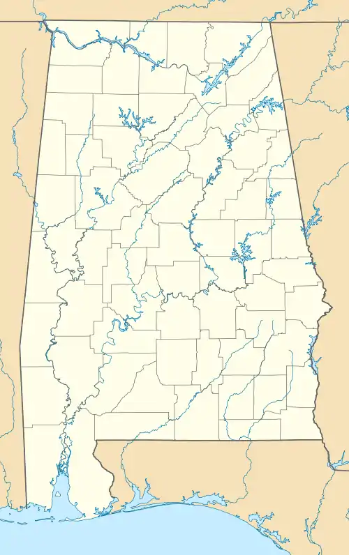
| Coordinates: 31°53′36″N 85°54′15″W / 31.89333°N 85.90417°W | |
| Country | United States |
| State | Alabama |
| County | Pike |
| Elevation | 354 ft (108 m) |
| Time zone | UTC-6 (Central (CST)) |
| • Summer (DST) | UTC-5 (CDT) |
| Area code | 334 |
| GNIS feature ID | 156539[1] |
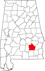
Jonesville is an unincorporated community in Pike County, Alabama, United States. Jonesville is located on the former Mobile and Girard Railroad, between Troy and Linwood.[2]
References
- ↑ "Jonesville". Geographic Names Information System. United States Geological Survey, United States Department of the Interior.
- ↑ James Macfarlane (1890). An American Geological Railway Guide, Giving the Geological Formation at Every Railway Station, with Altitudes Above Mean Tide-water, Notes on Interesting Places on the Routes, and a Description of Each of the Formations. D. Appleton. p. 381.
This article is issued from Wikipedia. The text is licensed under Creative Commons - Attribution - Sharealike. Additional terms may apply for the media files.
