Józefów | |
|---|---|
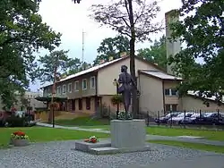 Town centre | |
 Flag  Coat of arms | |
 Józefów | |
| Coordinates: 52°8′8″N 21°14′13″E / 52.13556°N 21.23694°E | |
| Country | |
| Voivodeship | Masovian |
| County | Otwock |
| Gmina | Józefów (urban gmina) |
| Town rights | 1962 |
| Government | |
| • Mayor | Marek Banaszek |
| Area | |
| • Total | 23.92 km2 (9.24 sq mi) |
| Elevation | 94 m (308 ft) |
| Population (2019) | |
| • Total | 20,605 |
| • Density | 860/km2 (2,200/sq mi) |
| Time zone | UTC+1 (CET) |
| • Summer (DST) | UTC+2 (CEST) |
| Postal code | 05-420, 05-410 |
| Area code | +48 22 |
| Car plates | WOT |
| Website | http://jozefow.pl |
Józefów (Polish pronunciation: [juˈzɛfuf]) is a town in east-central Poland, located in Masovian Voivodeship, in Otwock County. It lies about 15 kilometres (9 miles) southeast of Warsaw city centre and is a part of that city's metropolitan area. Located on a picturesque confluence of Vistula and Świder rivers, it is home to one landscape reserve and three natural reservation zones. As of 2006 it had 18,157 inhabitants.[1]
Gallery
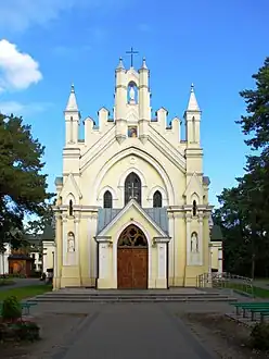 Church of the Black Madonna of Częstochowa
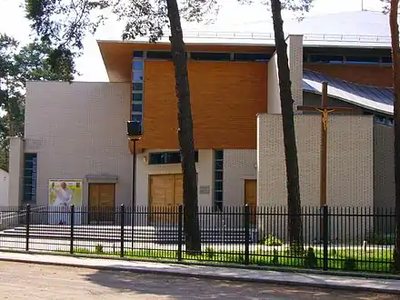 Church of St John the Baptist
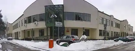 Public gymnasium
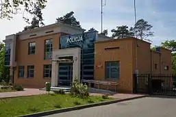 Police station
References
- ↑ Jozefow.pl, Official website.
External links
![]() Media related to Józefów (powiat otwocki) at Wikimedia Commons
Media related to Józefów (powiat otwocki) at Wikimedia Commons
- Jewish Community in Józefów on Virtual Shtetl
- Museums and historical monuments at Józefów homepage.
| Urban gminas | 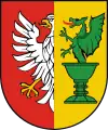 | |
|---|---|---|
| Urban-rural gmina | ||
| Rural gminas | ||
This article is issued from Wikipedia. The text is licensed under Creative Commons - Attribution - Sharealike. Additional terms may apply for the media files.