| Hillylaid Pool | |
|---|---|
 Hillylaid Pool as it emerges from beneath Hillylaid Road, looking north | |
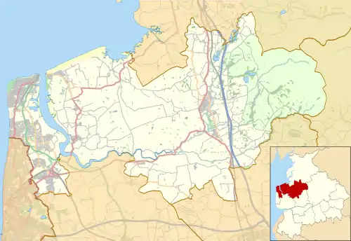 Location of the mouth within Wyre Borough | |
| Location | |
| Country | England |
| County | Lancashire |
| Physical characteristics | |
| Mouth | River Wyre |
• location | Thornton |
• coordinates | 53°52′53″N 2°58′41″W / 53.8815°N 2.9780°W |
| Length | 4.55 mi (7.32 km) |
Hillylaid Pool is a water channel running through the Fylde and Wyre areas of Lancashire in England. It is 4.55 miles (7.32 km) long,[1] and it is part of the Fleetwood Peninsula Tributary catchment area.[1]
Hillylaid Pool joins the River Wyre at Stanah, shortly after merging with another watercourse to the northwest of Flint's Caravan Park.[2]
It has the ability to be pumped at high tide by a pumping station on River Road, beside the entrance to Wyre Estuary Country Park.[3]
It was the subject of Wyre River Trust's Hillylaid Pool Wetland Project in 2018.[4] The wetlands were created on the banks of the Wyre at Stanah in 2020, a combined effort of The Rivers Trust and Wyre Rivers Trust.[5][6]
Gallery
 Boats are launched into the final few yards of Hillylaid Pool at Wyre Estuary Country Park
References
- 1 2 "Hillylaid Pool - Main Dyke is a river in Lancashire" – LandscapeBritain.co.uk
- ↑ 53°52′52″N 2°59′21″W / 53.8810°N 2.9892°W
- ↑ River Wyre Catchment Flood Management Plan: Summary Report, December 2009 – Environment Agency
- ↑ Our Projects – WyreRiverTrust.org
- ↑ Project update: Hillylaid wetland – NaturalCourse.co.uk
- ↑ World Wetlands Day: a new wetland for the Wyre catchment – TheRiversTrust.org
External links
- Hillylaid Pool - Tidal Wyre – Catchment Data Explorer, Environment Agency
- Land Drainage Strategy - August 2004 – Wyre Council
Geography of the Borough of Fylde | ||
|---|---|---|
| Towns | .svg.png.webp) | |
| Villages | ||
| Parishes | ||
| Topography |
| |
This article is issued from Wikipedia. The text is licensed under Creative Commons - Attribution - Sharealike. Additional terms may apply for the media files.